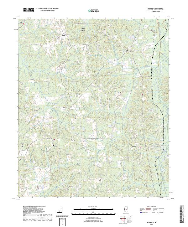
2024 Map of McDonald
USGS Topo · Published 2024About this map
The Pearl River meanders through the northern reaches of this Neshoba County landscape, anchoring a rural territory defined by small settlements and an extensive network of drainage canals. The presence of the Kentawka Canal, Lonsilocher Canal, and Fulton Canal suggests a history of land management and agricultural adaptation in the lowlands surrounding Beasha Creek. Historically significant community hubs like McDonald, Linwood, and Dixon are visible, each serving as a focal point for the surrounding farmsteads.
Find a feature on this map
84 named features on this map. Tap any name to fly to it.
Don’t see what you’re looking for? This feature index may not catch every label — zoom into the map to look around manually.
Map Details
Editions of this 2024 McDonald Map
This is the sole edition of this map. No revisions or reprints were ever made.
Historical Maps of Dixon Through Time
12 maps found
1962 House
Neshoba County, MS
1962 Owl Creek
Neshoba County, MS
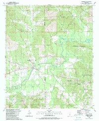
1972 Deemer
Neshoba County, MS
1972 Madden
Neshoba County, MS
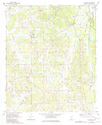
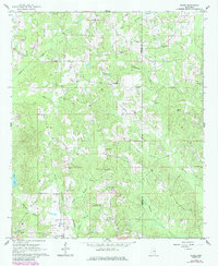
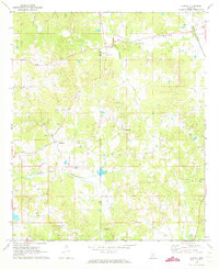
1972 McDonald
Neshoba County, MS
1989 Edinburg
Neshoba County, MS
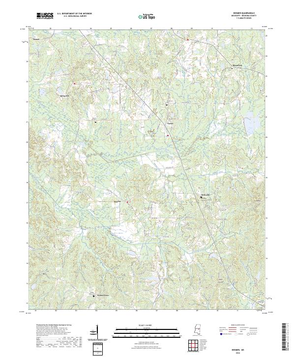
2024 Deemer
Neshoba County, MS
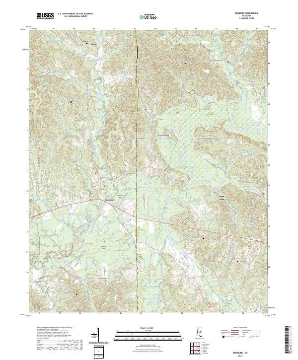
2024 Edinburg
Neshoba County, MS
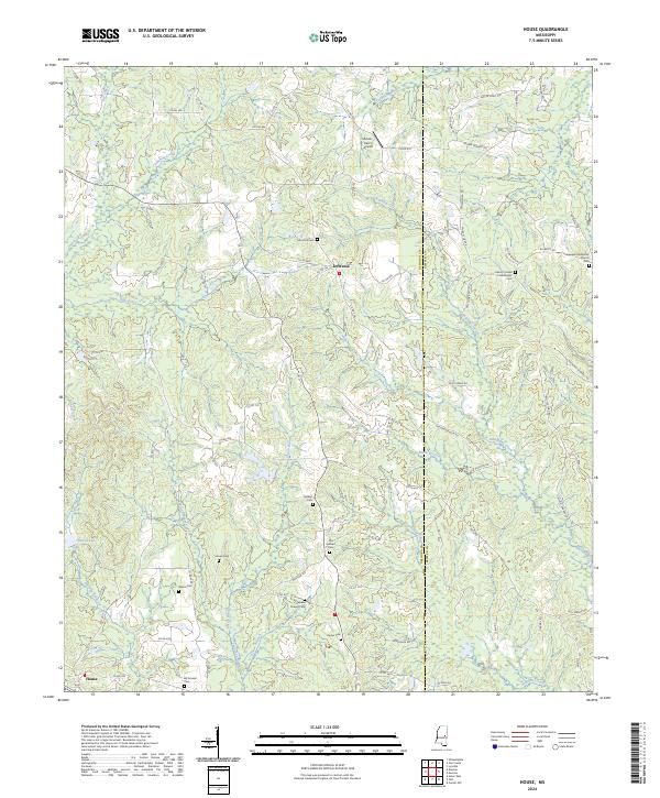
2024 House
Neshoba County, MS
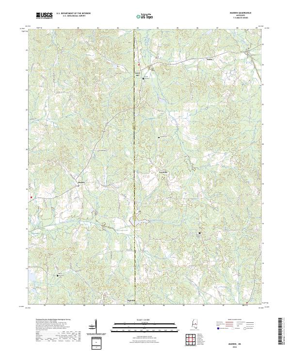
2024 Madden
Neshoba County, MS
2024 McDonald
Neshoba County, MS
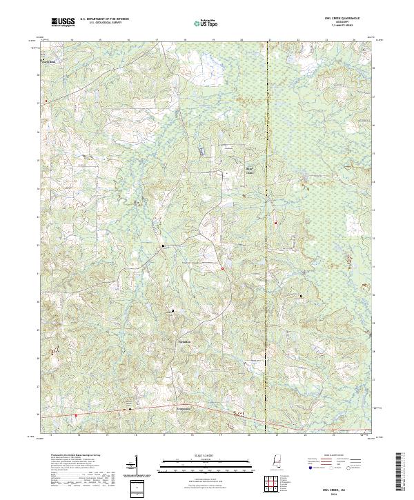
2024 Owl Creek
Neshoba County, MS