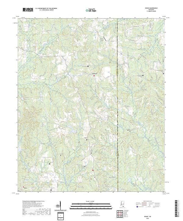
2024 Map of House
USGS Topo · Published 2024About this map
DeWeese and House anchor this rural landscape in East Central Mississippi, situated along the border of Neshoba Co and Kemper Co. The terrain is defined by a dense network of waterways, including Cushtusia Creek, Okatibbee Creek, and Houston Creek, which carve through the wooded hills. For family historians, the sheet is exceptionally detailed in its documentation of community burial sites and places of worship. Numerous cemeteries like Mars Hill Cemetery, Hesters Chapel Cemetery, and the Liberty United Methodist Cemetery are scattered throughout the quadrangle, reflecting generations of settlement in these townships. The presence of McLain - Calico Airport and House Lake adds modern context to a region that otherwise maintains a quiet, agrarian character, with a complex system of county roads such as Co RD 460 and Co RD 733 connecting isolated homesteads and small family plots.
Find a feature on this map
87 named features on this map. Tap any name to fly to it.
Don’t see what you’re looking for? This feature index may not catch every label — zoom into the map to look around manually.
Map Details
Editions of this 2024 House Map
This is the sole edition of this map. No revisions or reprints were ever made.
Other maps of this area

1953 · Meridian
USGS Topo · 1:250,000

1957 · Meridian
USGS Topo · 1:250,000

1962 · House
USGS Topo · 1:24,000

1962 · Lynville
USGS Topo · 1:24,000

1962 · Owl Creek
USGS Topo · 1:24,000

1962 · Center Hill
USGS Topo · 1:24,000

1962 · Post
USGS Topo · 1:24,000

1962 · Moscow
USGS Topo · 1:24,000

1965 · Meridian
USGS Topo · 1:250,000

1972 · Deemer
USGS Topo · 1:24,000