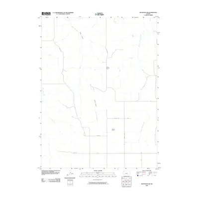
2009 Map of McDonald NW
USGS Topo · Published 2009About this map
Jones Canyon and its drainage through Jones Canyon Creek define the high plains of Rawlins County in this early 21st-century record. The landscape reflects a highly organized rural grid, characterized by long, straight thoroughfares like Co Rd W and County Line Rd that intersect the vast agricultural sections. In an area where traditional towns are absent, the map highlights the importance of private aviation for transport and land management, marked by the presence of Stout Landing Strip and Wilkens Airport. Seasonal watercourses, including the West Fork and East Fork Burntwood Creek, etch a natural drainage pattern across the plateau, while Big Timber Creek touches the western boundary. This survey captures a moment in the modern agricultural era of northwest Kansas, focusing on the infrastructure that sustains local ranching and farming operations.
Find a feature on this map
14 named features on this map. Tap any name to fly to it.
Don’t see what you’re looking for? This feature index may not catch every label — zoom into the map to look around manually.
Map Details
Editions of this 2009 McDonald NW Map
This is the sole edition of this map. No revisions or reprints were ever made.
Other maps of this area

1950 · Mc Donald
USGS Topo · 1:62,500

1951 · Bird City North
USGS Topo · 1:62,500

1951 · Mc Donald
USGS Topo · 1:62,500

1954 · McCook
USGS Topo · 1:250,000

1954 · Goodland
USGS Topo · 1:250,000

1956 · Goodland
USGS Topo · 1:250,000

1957 · McCook
USGS Topo · 1:250,000

1957 · Goodland
USGS Topo · 1:250,000

1958 · McCook
USGS Topo · 1:250,000

1961 · Benkelman
USGS Topo · 1:24,000