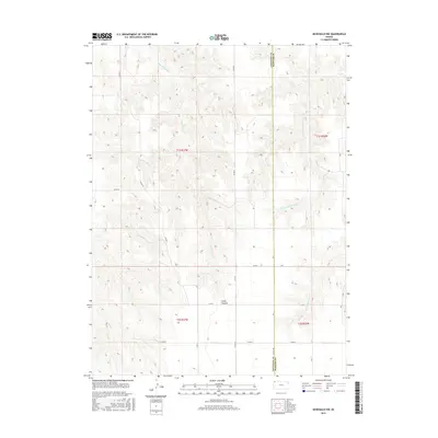
2015 Map of McDonald NW
USGS Topo · Published 2015About this map
Jones Canyon and its associated waterway, Jones Canyon Cr, define the drainage patterns of this rural High Plains landscape on the border of Northwest Kansas. The map document reveals a sparse, section-lined agricultural grid where the Cheyenne Co Rawlins Co boundary line runs vertically through the terrain. This area is characterized by deep intermittent stream beds, including W Fork Burntwood Cr and E Fork Burntwood Cr, which carve through the plateau. A network of county roads such as Co RD 34 and Co RD Aa provide the primary infrastructure for this remote ranching and farming territory. The survey preserves the precise Public Land Survey System (PLSS) divisions, illustrating the geometric organization of the land across townships like t1s r37w and t2s r36w.
Find a feature on this map
20 named features on this map. Tap any name to fly to it.
Don’t see what you’re looking for? This feature index may not catch every label — zoom into the map to look around manually.
Map Details
Editions of this 2015 McDonald NW Map
This is the sole edition of this map. No revisions or reprints were ever made.
Other maps of this area

1950 · Mc Donald
USGS Topo · 1:62,500

1951 · Bird City North
USGS Topo · 1:62,500

1951 · Mc Donald
USGS Topo · 1:62,500

1954 · McCook
USGS Topo · 1:250,000

1954 · Goodland
USGS Topo · 1:250,000

1956 · Goodland
USGS Topo · 1:250,000

1957 · McCook
USGS Topo · 1:250,000

1957 · Goodland
USGS Topo · 1:250,000

1958 · McCook
USGS Topo · 1:250,000

1961 · Benkelman
USGS Topo · 1:24,000