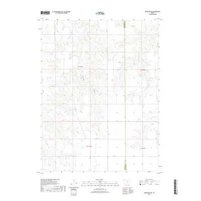
2018 Map of McDonald NW
USGS Topo · Published 2018About this map
The High Plains landscape of Northwest Kansas is defined by the headwaters of the Burntwood Creek system, where the W Fork Burntwood Cr and E Fork Burntwood Cr carve drainage patterns across the terrain. This 2018 survey captures the intersection of Rawlins and Cheyenne counties, a region primarily organized by a geometric grid of rural routes including Co Rd 33, Co Rd 34, and Co Rd X. The topography is marked by significant erosion features such as Jones Canyon, which disrupts the agricultural tableland. The map reflects a modern rural economy dependent on these arterial connections, such as Road W, providing access to isolated farmsteads and grazing lands characteristic of the western edge of the state.
Find a feature on this map
20 named features on this map. Tap any name to fly to it.
Don’t see what you’re looking for? This feature index may not catch every label — zoom into the map to look around manually.
Map Details
Editions of this 2018 McDonald NW Map
This is the sole edition of this map. No revisions or reprints were ever made.
Other maps of this area

1950 · Mc Donald
USGS Topo · 1:62,500

1951 · Bird City North
USGS Topo · 1:62,500

1951 · Mc Donald
USGS Topo · 1:62,500

1954 · McCook
USGS Topo · 1:250,000

1954 · Goodland
USGS Topo · 1:250,000

1956 · Goodland
USGS Topo · 1:250,000

1957 · McCook
USGS Topo · 1:250,000

1957 · Goodland
USGS Topo · 1:250,000

1958 · McCook
USGS Topo · 1:250,000

1961 · Benkelman
USGS Topo · 1:24,000