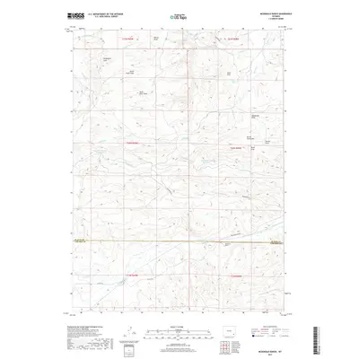
2017 Map of McDonald Ranch
USGS Topo · Published 2017About this map
McDonald Ranch lies at the heart of this high-plains landscape where the border of Platte and Laramie Counties meets. The terrain is defined by an intricate network of seasonal drainages and draws, including the systems of North Steer Draw and South Steer Draw, which flow toward the more substantial Richeau Cr. Agricultural water management is central to the area's utility, evidenced by features such as the Morrison Number 2 Reservoir and the Hugh McDonald Reservoir.
Find a feature on this map
32 named features on this map. Tap any name to fly to it.
Don’t see what you’re looking for? This feature index may not catch every label — zoom into the map to look around manually.
Map Details
Editions of this 2017 McDonald Ranch Map
This is the sole edition of this map. No revisions or reprints were ever made.
Other maps of this area

1953 · Natwick SW
USGS Topo · 1:24,000

1953 · Double L Ranch
USGS Topo · 1:24,000

1953 · Richeau Hills
USGS Topo · 1:24,000

1954 · Cheyenne
USGS Topo · 1:250,000

1958 · Cheyenne
USGS Topo · 1:250,000

1962 · Farthing
USGS Topo · 1:24,000

1962 · Delano Ranch
USGS Topo · 1:24,000

1962 · Bristol Ridge
USGS Topo · 1:24,000

1962 · Hirsig Ranch
USGS Topo · 1:24,000

1962 · Mc Donald Ranch
USGS Topo · 1:24,000