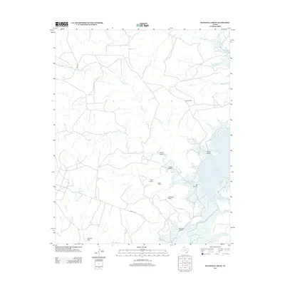
2012 Map of McDowell Creek
USGS Topo · Published 2012About this map
Lake Meredith and the Canadian River define the eastern boundary of this Potter County landscape, where the High Plains drop away into a complex system of breaks and mesas. The terrain is deeply incised by drainages such as McDowell Cr, which meanders across the northern reaches, and the shorter, steeper systems of Devils Canyon and Big Canyon that feed directly into the reservoir. These canyons separate prominent elevated features like Lost Mesa and Hackberry Mesa.
Find a feature on this map
23 named features on this map. Tap any name to fly to it.
Don’t see what you’re looking for? This feature index may not catch every label — zoom into the map to look around manually.
Map Details
Editions of this 2012 McDowell Creek Map
This is the sole edition of this map. No revisions or reprints were ever made.
Other maps of this area

1934 · Cliffside
USGS Topo · 1:62,500

1936 · Fourways
USGS Topo · 1:62,500

1936 · Cliffside
USGS Topo · 1:62,500

1939 · Sanford
USGS Topo · 1:62,500

1953 · Chunky
USGS Topo · 1:24,000

1953 · Marsh
USGS Topo · 1:24,000

1953 · Puente
USGS Topo · 1:24,000

1953 · Alibates Ranch
USGS Topo · 1:24,000

1953 · Evans Canyon
USGS Topo · 1:24,000

1953 · Masterson
USGS Topo · 1:24,000