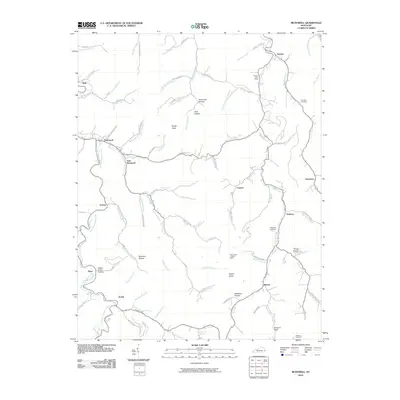
2010 Map of McDowell
USGS Topo · Published 2010About this map
McDowell and East McDowell sit at the confluence of several mountain branches, serving as a hub for the narrow valleys of Floyd County. The landscape is defined by the winding course of Left Fork Beaver Creek and Mud Creek, where small settlements like Beaver, Teaberry, and Drift follow the available bottomland. This modern survey illustrates the dense network of local roads that have replaced or supplemented older trails, such as Hoods Fork Rd and Spurlock Church Rd. Genealogists will find significant value in the documentation of several family-named burial sites, including Lee Alley Cemetery and Thomas Hamilton Cemetery. Landmarks such as the Mud Creek Lookout Tower atop the high ridges and the Grethel Post Office highlight the continued importance of these traditional mountain communities and their geographic orientation among features like Rough Knob and Signal Knob.
Find a feature on this map
85 named features on this map. Tap any name to fly to it.
Don’t see what you’re looking for? This feature index may not catch every label — zoom into the map to look around manually.
Map Details
Editions of this 2010 McDowell Map
This is the sole edition of this map. No revisions or reprints were ever made.
Other maps of this area

1886 · Prestonsburg
USGS Topo · 1:125,000

1890 · Whitesburg
USGS Topo · 1:125,000

1892 · Whitesburg
USGS Topo · 1:125,000

1892 · Prestonsburg
USGS Topo · 1:125,000

1912 · Hindman
USGS Topo · 1:48,000

1914 · Laynesville
USGS Topo · 1:48,000

1914 · Vergie
USGS Topo · 1:48,000

1915 · Prestonsburg
USGS Topo · 1:62,500

1915 · Hindman
USGS Topo · 1:62,500

1916 · Harold
USGS Topo · 1:62,500