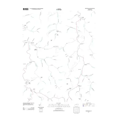
2013 Map of McDowell
USGS Topo · Published 2013About this map
McDowell and East McDowell sit at the center of this mountain landscape, where the narrow valleys of Left Fork Beaver Cr and Mud Cr dictate the settlement patterns of Floyd County. The terrain is characterized by a dense network of hollows and ridges, with family legacies recorded in names like Indian Grave Hollow and Rich Hollow. The community of Beaver marks a significant junction near the southern edge, while the heights are watched over by the Mud Creek Lookout Tower. This survey documents a region where transportation and life remain closely tied to the watercourses, from the northern reach of Drift to the clusters of homes at Craynor and Teaberry. Local history is preserved in numerous family burial grounds, including Lee Alley Cem and the Thomas Hamilton Cem, which anchor the various branches and forks that define these Appalachian communities.
Find a feature on this map
131 named features on this map. Tap any name to fly to it.
Don’t see what you’re looking for? This feature index may not catch every label — zoom into the map to look around manually.
Map Details
Editions of this 2013 McDowell Map
This is the sole edition of this map. No revisions or reprints were ever made.
Other maps of this area

1886 · Prestonsburg
USGS Topo · 1:125,000

1890 · Whitesburg
USGS Topo · 1:125,000

1892 · Whitesburg
USGS Topo · 1:125,000

1892 · Prestonsburg
USGS Topo · 1:125,000

1912 · Hindman
USGS Topo · 1:48,000

1914 · Laynesville
USGS Topo · 1:48,000

1914 · Vergie
USGS Topo · 1:48,000

1915 · Prestonsburg
USGS Topo · 1:62,500

1915 · Hindman
USGS Topo · 1:62,500

1916 · Harold
USGS Topo · 1:62,500