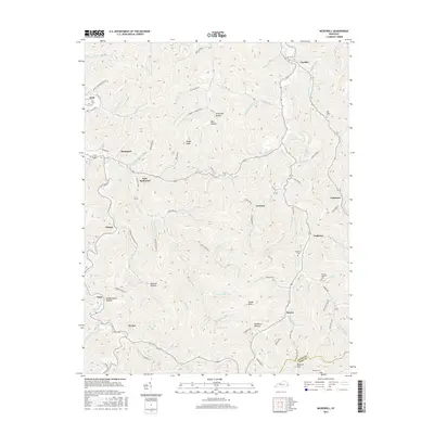
2016 Map of McDowell
USGS Topo · Published 2016About this map
McDowell and East McDowell anchor this 2016 survey of the Kentucky coalfields, where steep-walled hollows and narrow creek bottoms dictate the pattern of human settlement. The landscape is defined by the branching waters of Mud Creek and the Left Fork Beaver Creek, which channel development into tight corridors along the valley floors. Family history is etched into the terrain through numerous named cemeteries, including Lee Alley Cem and the Thomas Hamilton Cem, tucked away in the higher elevations. Small mountain communities like Teaberry, Galveston, and Beaver are linked by winding routes such as Hoods Fork Rd and Neds Fork Rd. The topography is dominated by notable heights such as Rough Knob and Signal Knob, while the intricate network of drainage is marked by evocative names like Indian Grave Hollow and Stonecoal Hollow.
Find a feature on this map
108 named features on this map. Tap any name to fly to it.
Don’t see what you’re looking for? This feature index may not catch every label — zoom into the map to look around manually.
Map Details
Editions of this 2016 McDowell Map
This is the sole edition of this map. No revisions or reprints were ever made.
Other maps of this area

1886 · Prestonsburg
USGS Topo · 1:125,000

1890 · Whitesburg
USGS Topo · 1:125,000

1892 · Whitesburg
USGS Topo · 1:125,000

1892 · Prestonsburg
USGS Topo · 1:125,000

1912 · Hindman
USGS Topo · 1:48,000

1914 · Laynesville
USGS Topo · 1:48,000

1914 · Vergie
USGS Topo · 1:48,000

1915 · Prestonsburg
USGS Topo · 1:62,500

1915 · Hindman
USGS Topo · 1:62,500

1916 · Harold
USGS Topo · 1:62,500