2022 Map of McDowell
USGS Topo · Published 2022About this map
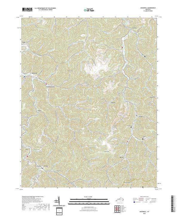
McDowell and its neighboring communities are defined by the winding creek valleys of the Cumberland Plateau, where narrow hollows dictate the layout of roads and settlements. This 2022 survey captures the region's dense network of hollows, such as Rich Hollow and Doug Hayes Hollow, alongside prominent elevations like Signal Knob and Rough Knob. The landscape is carved by numerous waterways, including Left Fork Beaver Cr and Little Mud Cr, which have historically shaped the local coal and timber economy.
Find a feature on this map
114 named features on this map. Tap any name to fly to it.
Don’t see what you’re looking for? This feature index may not catch every label — zoom into the map to look around manually.
Map Details
Editions of this 2022 McDowell Map
This is the sole edition of this map. No revisions or reprints were ever made.
Historical Maps of Price Through Time
1 maps found