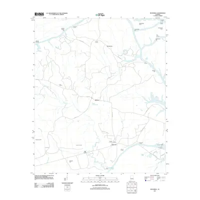
2011 Map of McDowell
USGS Topo · Published 2011About this map
The Tombigbee River snakes through the landscape of the Alabama Black Belt, defining the eastern border of this 2011 survey. Centered on the settlement of Belmont, the terrain is a complex network of waterways and landings that hint at a long history of river-based commerce. The river's path is marked by distinctive features such as Rattlesnake Bend, Twelvemile Bend, and numerous river bars including Mussel Shoals Bar and Arringtons Bar.
Find a feature on this map
49 named features on this map. Tap any name to fly to it.
Don’t see what you’re looking for? This feature index may not catch every label — zoom into the map to look around manually.
Map Details
Editions of this 2011 McDowell Map
This is the sole edition of this map. No revisions or reprints were ever made.
Other maps of this area

1929 · Epes
USGS Topo · 1:48,000

1932 · Epes
USGS Topo · 1:62,500

1946 · Demopolis
USGS Topo · 1:24,000

1947 · Demopolis
USGS Topo · 1:24,000

1947 · Mason Bend
USGS Topo · 1:24,000

1947 · Forkland
USGS Topo · 1:24,000

1948 · Mason Bend
USGS Topo · 1:24,000

1948 · Mc Dowell
USGS Topo · 1:24,000

1949 · Mc Dowell
USGS Topo · 1:24,000

1949 · Forkland
USGS Topo · 1:24,000