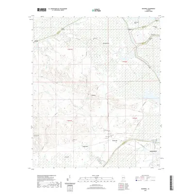
2020 Map of McDowell
USGS Topo · Published 2020About this map
The Tennessee-Tombigbee Waterway defines the northern and eastern boundaries of this West Alabama landscape, winding past numerous river bars and bends including Rattlesnake Bend and Twelvemile Bend. The confluence of these water systems near Demopolis has historically shaped the region's topography, characterized by extensive wetlands like Charleston Swamp and the expansive Lake Demopolis.
Find a feature on this map
53 named features on this map. Tap any name to fly to it.
Don’t see what you’re looking for? This feature index may not catch every label — zoom into the map to look around manually.
Map Details
Editions of this 2020 McDowell Map
This is the sole edition of this map. No revisions or reprints were ever made.
Other maps of this area

1929 · Epes
USGS Topo · 1:48,000

1932 · Epes
USGS Topo · 1:62,500

1946 · Demopolis
USGS Topo · 1:24,000

1947 · Demopolis
USGS Topo · 1:24,000

1947 · Mason Bend
USGS Topo · 1:24,000

1947 · Forkland
USGS Topo · 1:24,000

1948 · Mason Bend
USGS Topo · 1:24,000

1948 · Mc Dowell
USGS Topo · 1:24,000

1949 · Mc Dowell
USGS Topo · 1:24,000

1949 · Forkland
USGS Topo · 1:24,000