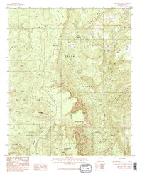
1986 Map of McFadden Peak
USGS Topo · Published 1986About this map
McFadden Peak dominates this central Arizona landscape, serving as a prominent landmark within the Tonto National Forest. The 1986 survey illustrates a transition from the elevated plateaus of Squaw Mesa and Cow Flat Mountain in the north down into the deep drainages of the Sierra Ancha Wilderness and Salome Wilderness. The terrain is defined by a dense network of seasonal and perennial water sources, including Ash Creek Spring, Turkey Spring, and China Spring, which were vital for early cattle ranching and travel through these mountains.
Find a feature on this map
28 named features on this map. Tap any name to fly to it.
Don’t see what you’re looking for? This feature index may not catch every label — zoom into the map to look around manually.
Map Details
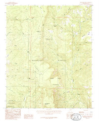
Editions of this 1986 McFadden Peak Map
2 editions found
Other maps of this area

1886 · Holbrook
USGS Topo · 1:250,000

1887 · Verde
USGS Topo · 1:250,000

1892 · Verde
USGS Topo · 1:250,000

1893 · Holbrook
USGS Topo · 1:250,000

1907 · Roosevelt
USGS Topo · 1:125,000

1909 · Four Peaks
USGS Topo · 1:125,000

1912 · Roosevelt
USGS Topo · 1:125,000

1922 · Chrysotile
USGS Topo · 1:125,000

1937 · Diamond Butte
USGS Topo · 1:48,000

1943 · Diamond Butte
USGS Topo · 1:62,500