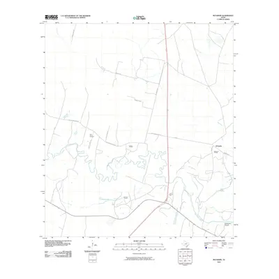
2010 Map of McFaddin
USGS Topo · Published 2010About this map
The San Antonio River meanders in tight, complex loops across this coastal prairie landscape, creating a network of wetlands including Cushman Bayou, Flat Bayou, and Hines Lake. The area is defined by its long-standing ranching and petroleum heritage, with the settlement of McFaddin positioned near the McFaddin Oil Field. Industrial activity is further evidenced by the Anaqua Oil Field and Huff Oil Field, which are interspersed among large tracts of land.
Find a feature on this map
25 named features on this map. Tap any name to fly to it.
Don’t see what you’re looking for? This feature index may not catch every label — zoom into the map to look around manually.
Map Details
Editions of this 2010 McFaddin Map
This is the sole edition of this map. No revisions or reprints were ever made.
Other maps of this area

1951 · Bloomington
USGS Topo · 1:24,000

1952 · Tivoli
USGS Topo · 1:24,000

1952 · Bloomington SW
USGS Topo · 1:24,000

1953 · Beeville
USGS Topo · 1:250,000

1954 · Vidaurri
USGS Topo · 1:62,500

1956 · Beeville
USGS Topo · 1:250,000

1960 · Beeville
USGS Topo · 1:250,000

1962 · Fannin
USGS Topo · 1:24,000

1962 · Lott Lake
USGS Topo · 1:24,000

1962 · McFaddin
USGS Topo · 1:24,000