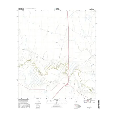
2016 Map of McFaddin
USGS Topo · Published 2016About this map
The San Antonio River carves a complex, meandering path across the coastal plains of South Texas, defining the political boundary between Victoria and Refugio counties. This landscape is characterized by its intricate hydrology, where the main river channel is flanked by abandoned meanders and backwaters such as Old River and Hines Lake. The drainage network is further composed of sluggish waterways like Cushing Bayou, Flat Bayou, and Kuy Cr, illustrating a terrain shaped by periodic inundation and sediment deposition.
Find a feature on this map
27 named features on this map. Tap any name to fly to it.
Don’t see what you’re looking for? This feature index may not catch every label — zoom into the map to look around manually.
Map Details
Editions of this 2016 McFaddin Map
This is the sole edition of this map. No revisions or reprints were ever made.
Other maps of this area
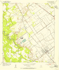
1951 · Bloomington
USGS Topo · 1:24,000
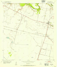
1952 · Tivoli
USGS Topo · 1:24,000
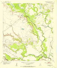
1952 · Bloomington SW
USGS Topo · 1:24,000

1953 · Beeville
USGS Topo · 1:250,000
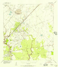
1954 · Vidaurri
USGS Topo · 1:62,500

1956 · Beeville
USGS Topo · 1:250,000

1960 · Beeville
USGS Topo · 1:250,000
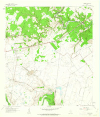
1962 · Fannin
USGS Topo · 1:24,000
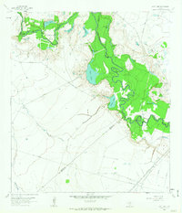
1962 · Lott Lake
USGS Topo · 1:24,000
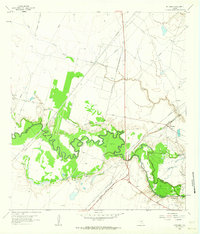
1962 · McFaddin
USGS Topo · 1:24,000