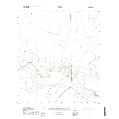
2019 Map of McFaddin
USGS Topo · Published 2019About this map
The San Antonio River snakes across this landscape, forming the natural boundary between Victoria County and Refugio County. This coastal prairie environment is defined by its complex network of waterways, including Kuy Creek and Cushman Bayou, which drain into the marshes surrounding Hines Lake. The settlement of McFaddin serves as a central point in an area largely characterized by rural ranch roads and family-named cemeteries that reflect the region's deep lineage. Genealogists will find particular value in the locations of the De la Garza Cemetery and the Nicholas Fagan Memorial Cemetery, alongside the O'Connor Cemetery. These sites, tucked away near the river bends and along routes like De La Garza Road, provide essential spatial context for the historic families who established themselves in this section of South Texas.
Find a feature on this map
26 named features on this map. Tap any name to fly to it.
Don’t see what you’re looking for? This feature index may not catch every label — zoom into the map to look around manually.
Map Details
Editions of this 2019 McFaddin Map
This is the sole edition of this map. No revisions or reprints were ever made.
Other maps of this area
1951 · Bloomington
USGS Topo · 1:24,000
1952 · Tivoli
USGS Topo · 1:24,000
1952 · Bloomington SW
USGS Topo · 1:24,000

1953 · Beeville
USGS Topo · 1:250,000
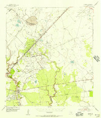
1954 · Vidaurri
USGS Topo · 1:62,500

1956 · Beeville
USGS Topo · 1:250,000

1960 · Beeville
USGS Topo · 1:250,000
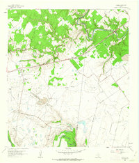
1962 · Fannin
USGS Topo · 1:24,000
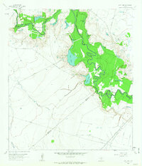
1962 · Lott Lake
USGS Topo · 1:24,000
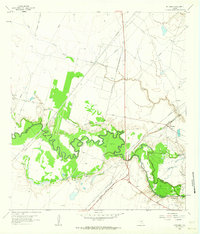
1962 · McFaddin
USGS Topo · 1:24,000