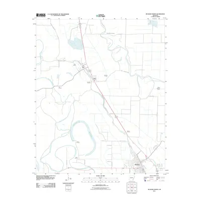
2011 Map of McGehee North
USGS Topo · Published 2011About this map
The delta landscape of Desha County is defined by the winding course of Bayou Bartholomew and the agricultural grid north of McGehee. In this 2011 survey, the settlements of Tillar and Reed follow the primary rail and road corridors, surrounded by numerous small burial grounds that anchor the local genealogy. Notable sites include Bogue Pilgrim Cemetery, Loggy Bayou Cemetery, and Seven Star Cemetery, reflecting the area's deep-rooted family histories. The presence of Great Rivers Votech near the southern edge of the map indicates the region's educational infrastructure, while the distinct oxbow shape of Austin Brake illustrates the slow evolution of the local waterways. Aviation interests are represented by the Tillar Airport and the Flying G Ranch Airport, which flank the central farming operations.
Find a feature on this map
40 named features on this map. Tap any name to fly to it.
Don’t see what you’re looking for? This feature index may not catch every label — zoom into the map to look around manually.
Map Details
Editions of this 2011 McGehee North Map
This is the sole edition of this map. No revisions or reprints were ever made.
Other maps of this area

1935 · Cominto
USGS Topo · 1:62,500

1935 · Rotan
USGS Topo · 1:62,500

1935 · Red Fork
USGS Topo · 1:62,500

1936 · McGehee
USGS Topo · 1:62,500

1937 · McGehee
USGS Topo · 1:62,500

1953 · Greenwood
USGS Topo · 1:250,000

1955 · McGehee
USGS Topo · 1:62,500

1956 · Greenwood
USGS Topo · 1:250,000

1960 · Selma
USGS Topo · 1:24,000

1960 · Collins
USGS Topo · 1:24,000