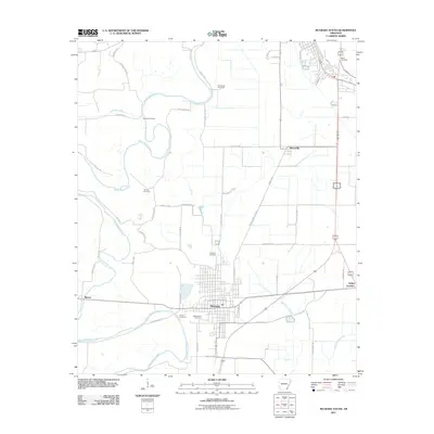
2011 Map of McGehee South
USGS Topo · Published 2011About this map
Dermott serves as the central hub for this portion of Desha County, where the grid of city streets transitions into the expansive agricultural landscape of southeast Arkansas. The sinuous path of Bayou Bartholomew snakes through the western portion of the map, creating a distinct natural boundary that separates large farming tracts. This 2011 survey captures a rural landscape heavily defined by family history and lineage, evidenced by the high density of small cemeteries scattered across the countryside. From the Bates Cemetery in the northeast corner down to the Davis Cemetery near the city limits, these sites offer a significant trail for genealogists. The road network, including Cotton Belt Rd and Skipper Bridge Rd, links smaller settlements like Masonville and Baxter to the larger rail and highway corridors that facilitate the region's agricultural economy.
Find a feature on this map
50 named features on this map. Tap any name to fly to it.
Don’t see what you’re looking for? This feature index may not catch every label — zoom into the map to look around manually.
Map Details
Editions of this 2011 McGehee South Map
This is the sole edition of this map. No revisions or reprints were ever made.
Other maps of this area

1935 · Mist
USGS Topo · 1:62,500

1935 · Cominto
USGS Topo · 1:62,500

1936 · McGehee
USGS Topo · 1:62,500

1936 · Lake Village
USGS Topo · 1:62,500

1937 · McGehee
USGS Topo · 1:62,500

1953 · Greenwood
USGS Topo · 1:250,000

1955 · Lake Village
USGS Topo · 1:62,500

1955 · McGehee
USGS Topo · 1:62,500

1956 · Greenwood
USGS Topo · 1:250,000

1960 · Mist
USGS Topo · 1:62,500