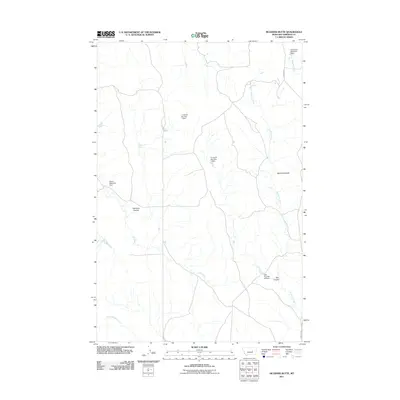
2011 Map of McGinnis Butte
USGS Topo · Published 2011About this map
McGinnis Butte anchors this landscape in Garfield County, where the high plains terrain is defined by a network of drainage coulees and ephemeral water management. Ranching operations are central to the area's development, evidenced by specialized infrastructure such as 71 Ranch Number 1 Dam and 71 Ranch Number 2 Dam. The topography is marked by deep incisions like Peterson Coulee and Day Coulee, which direct seasonal runoff toward McGinnis Creek and Big Dry Creek.\n\nIn addition to larger ranching works, the map reveals smaller-scale water features vital to the local economy, including Peterson Spring and Papps Reservoir Dam. The presence of the Galt Number 28 Dam further illustrates the systematic approach to land use and water conservation in this part of Montana. For researchers of the northern plains, these family-named landmarks and specific dam locations provide a clear record of land stewardship and pastoral boundaries.
Find a feature on this map
14 named features on this map. Tap any name to fly to it.
Don’t see what you’re looking for? This feature index may not catch every label — zoom into the map to look around manually.
Map Details
Editions of this 2011 McGinnis Butte Map
This is the sole edition of this map. No revisions or reprints were ever made.
Other maps of this area

1954 · Jordan
USGS Topo · 1:250,000

1954 · Forsyth
USGS Topo · 1:250,000

1956 · Jordan
USGS Topo · 1:250,000

1957 · Forsyth
USGS Topo · 1:250,000

1958 · Jordan
USGS Topo · 1:250,000

1958 · Forsyth
USGS Topo · 1:250,000

1963 · Mc Williams Springs
USGS Topo · 1:24,000

1963 · Regnal Coulee
USGS Topo · 1:24,000

1964 · Jordan
USGS Topo · 1:250,000

1965 · Robertson School
USGS Topo · 1:24,000