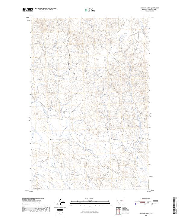
2024 Map of McGinnis Butte
USGS Topo · Published 2024About this map
McGinnis Butte stands as a prominent landmark in this eastern Montana landscape, overlooking a complex drainage system defined by intermittent waterways and deep coulees. The terrain is shaped by the winding courses of Big Dry Creek and McGinnis Creek, which carve through the high plains of Garfield County. This modern survey reflects the enduring cattle country character of the region, where water sources like Peterson Spring and the drainage of Peterson Coulee have historically dictated land use and ranching boundaries. In the southern portion of the sheet, Gumbo Ridge and Little McGinnis Creek illustrate the distinctive clay-rich soils and erosion patterns typical of the Montana badlands, while the primitive routes of Ingamar Rd and 17235 Rd provide the primary access to this sparsely populated rangeland.
Find a feature on this map
15 named features on this map. Tap any name to fly to it.
Don’t see what you’re looking for? This feature index may not catch every label — zoom into the map to look around manually.
Map Details
Editions of this 2024 McGinnis Butte Map
This is the sole edition of this map. No revisions or reprints were ever made.
Other maps of this area

1954 · Jordan
USGS Topo · 1:250,000

1954 · Forsyth
USGS Topo · 1:250,000

1956 · Jordan
USGS Topo · 1:250,000

1957 · Forsyth
USGS Topo · 1:250,000

1958 · Jordan
USGS Topo · 1:250,000

1958 · Forsyth
USGS Topo · 1:250,000

1963 · Mc Williams Springs
USGS Topo · 1:24,000

1963 · Regnal Coulee
USGS Topo · 1:24,000

1964 · Jordan
USGS Topo · 1:250,000

1965 · Robertson School
USGS Topo · 1:24,000