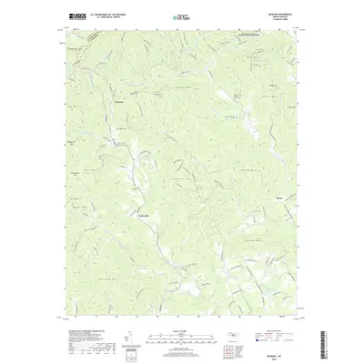
2019 Map of McGrady
USGS Topo · Published 2019About this map
McGrady and Halls Mills anchor this portion of Wilkes County, where the topography transitions from the high peaks of the Blue Ridge into the river valleys below. The Blue Ridge Parkway skirts the northern boundary, passing landmarks like Grandmother Mtn and Bell Mtn. This area is defined by the headwaters of several major water systems, including the N Fork Reddies River and the W Prong Roaring River, which have shaped the settlement patterns of families in these valleys for generations.
Find a feature on this map
123 named features on this map. Tap any name to fly to it.
Don’t see what you’re looking for? This feature index may not catch every label — zoom into the map to look around manually.
Map Details
Editions of this 2019 McGrady Map
This is the sole edition of this map. No revisions or reprints were ever made.
Other maps of this area

1889 · Wilkesboro
USGS Topo · 1:125,000

1891 · Wilkesboro
USGS Topo · 1:125,000

1953 · Winston-Salem
USGS Topo · 1:250,000

1955 · Winston-Salem
USGS Topo · 1:250,000

1962 · Winston-Salem
USGS Topo · 1:250,000

1966 · Roaring River
USGS Topo · 1:24,000

1966 · Wilkesboro
USGS Topo · 1:24,000
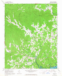
1966 · Purlear
USGS Topo · 1:24,000
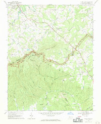
1968 · Glade Valley
USGS Topo · 1:24,000
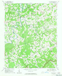
1968 · Laurel Springs
USGS Topo · 1:24,000