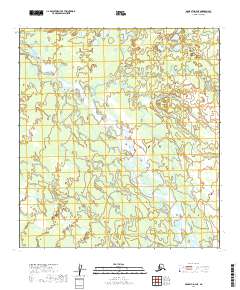
2019 Map of McGrath D-3 NE
USGS Topo · Published 2019About this map
South Fork Kuskokwim River and the Little Tonzona River dominate this interior landscape in the Yukon-Koyukuk Census Area. This 2019 survey documents a largely unpopulated wilderness, defined by the winding paths of these significant waterways as they meander through township boundaries such as t34n r26w and t33n r25w. The map illustrates the complex hydrography of the region, featuring numerous unnamed ponds and wetland areas typical of the Alaska interior. It serves as a precise record of the natural drainage patterns and topographical contours before any major modern development or infrastructure reached this specific section of the McGrath D-3 NE quadrangle.
Find a feature on this map
10 named features on this map. Tap any name to fly to it.
Don’t see what you’re looking for? This feature index may not catch every label — zoom into the map to look around manually.
Map Details
Editions of this 2019 McGrath D-3 NE Map
This is the sole edition of this map. No revisions or reprints were ever made.
Other maps of this area

1949 · McGrath
USGS Topo · 1:250,000

1950 · Medfra
USGS Topo · 1:250,000

1950 · McGrath
USGS Topo · 1:250,000

1954 · McGrath D-3
USGS Topo · 1:63,360

1954 · Medfra A-3
USGS Topo · 1:63,360

1958 · McGrath D-2
USGS Topo · 1:63,360

1958 · Medfra A-2
USGS Topo · 1:63,360

1958 · McGrath
USGS Topo · 1:250,000

1959 · Medfra
USGS Topo · 1:250,000
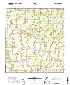
2019 · McGrath D-3 SW
USGS Topo · 1:25,000