
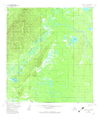
1958 Map of Medfra A-2
USGS Topo · Published 1964About this map
The Kuskokwim River system dominates this Alaskan interior landscape, defined by the winding paths of the East Fork and the Tonzona River. Photogrammetric methods from the mid-1950s revealed an intricate network of waterways and low-lying wetlands, including the prominent Lake Hoyle and Denagiemina Lake. The terrain transitions from these water-logged flats toward the elevations of Moose Hill and the uniquely named Baby Basket hills.
Find a feature on this map
18 named features on this map. Tap any name to fly to it.
Don’t see what you’re looking for? This feature index may not catch every label — zoom into the map to look around manually.
Map Details
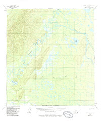
Editions of this 1958 Medfra A-2 Map
3 editions found
Other maps of this area

1949 · McGrath
USGS Topo · 1:250,000

1950 · Medfra
USGS Topo · 1:250,000

1950 · McGrath
USGS Topo · 1:250,000

1954 · McGrath D-3
USGS Topo · 1:63,360

1954 · Medfra A-3
USGS Topo · 1:63,360

1955 · Medfra B-3
USGS Topo · 1:63,360

1958 · McGrath D-2
USGS Topo · 1:63,360

1958 · Medfra B-2
USGS Topo · 1:63,360

1958 · Medfra A-1
USGS Topo · 1:63,360

1958 · McGrath D-1
USGS Topo · 1:63,360