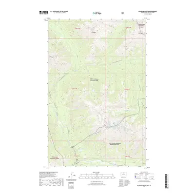
2020 Map of McGregor Mountain
USGS Topo · Published 2020About this map
Sandalee Glacier clings to the high slopes of McGregor Mtn in this 2020 topographic record of the northern Cascades. This protected wilderness area within the North Cascades National Park and the Lake Chelan National Recreation Area is defined by a complex drainage system, where the Stehekin River and its major tributaries like Agnes Cr flow through deep ravines such as Agnes Gorge.
Find a feature on this map
47 named features on this map. Tap any name to fly to it.
Don’t see what you’re looking for? This feature index may not catch every label — zoom into the map to look around manually.
Map Details
Editions of this 2020 McGregor Mountain Map
This is the sole edition of this map. No revisions or reprints were ever made.
Other maps of this area
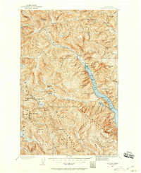
1902 · Stehekin
USGS Topo · 1:125,000
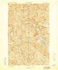
1904 · Stehekin
USGS Topo · 1:125,000
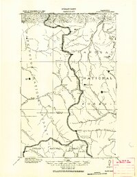
1920 · Slate Pass
USGS Topo · 1:125,000

1955 · Concrete
USGS Topo · 1:250,000

1958 · Concrete
USGS Topo · 1:250,000

1962 · Concrete
USGS Topo · 1:250,000
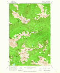
1963 · Washington Pass
USGS Topo · 1:24,000
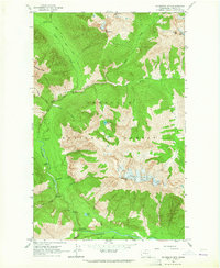
1963 · Mc Gregor Mtn
USGS Topo · 1:24,000
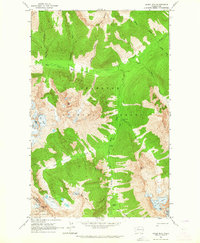
1963 · Agnes Mtn
USGS Topo · 1:24,000
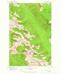
1963 · Mt. Arriva
USGS Topo · 1:24,000