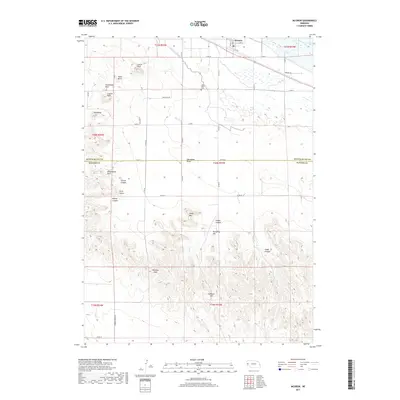
2017 Map of McGrew
USGS Topo · Published 2017About this map
The North Platte River and the Castle Rock Canal define the northern lowlands of this Nebraska landscape, where the town of McGrew sits at the edge of the river valley. The terrain quickly transitions from these irrigated plains into a series of distinctive landforms along the bluff line. Named features like Castle Rock, Steamboat Rock, and Table Rock stand as prominent landmarks for those studying the westward routes and geologic character of the region.
Find a feature on this map
50 named features on this map. Tap any name to fly to it.
Don’t see what you’re looking for? This feature index may not catch every label — zoom into the map to look around manually.
Map Details
Editions of this 2017 McGrew Map
This is the sole edition of this map. No revisions or reprints were ever made.
Other maps of this area
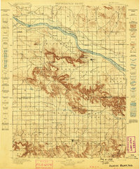
1898 · Scotts Bluff
USGS Topo · 1:125,000
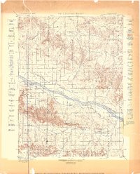
1898 · Camp Clarke
USGS Topo · 1:125,000
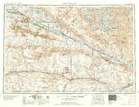
1954 · Scottsbluff
USGS Topo · 1:250,000
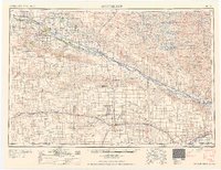
1958 · Scottsbluff
USGS Topo · 1:250,000
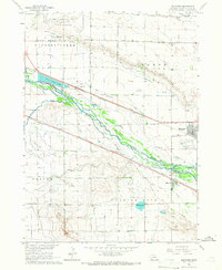
1965 · Minatare
USGS Topo · 1:24,000
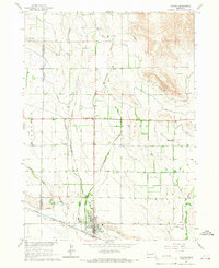
1965 · Bayard
USGS Topo · 1:24,000
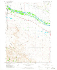
1965 · South Bayard
USGS Topo · 1:24,000
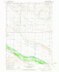
1965 · Bayard SW
USGS Topo · 1:24,000
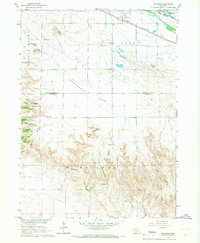
1965 · McGrew
USGS Topo · 1:24,000
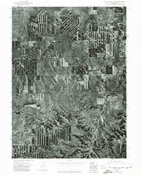
1973 · Scotts Bluff 4 SE
USGS Topo · 1:24,000