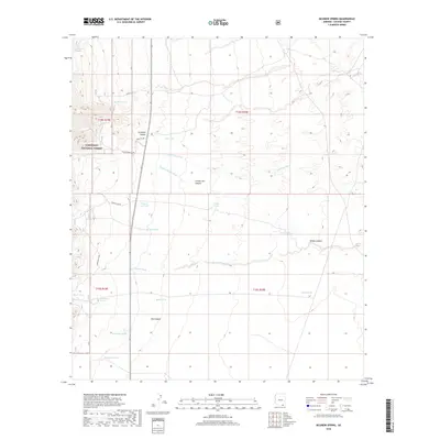
2018 Map of McGrew Spring
USGS Topo · Published 2018About this map
Coronado National Forest dominates the western edge of this landscape, where the terrain transitions from the high peaks of the Whetstone Mountains into a series of complex alluvial washes and drainage systems. The hydrologic network is defined by seasonal water sources and livestock infrastructure, including French Joe Tank, Jog Tank, and Mesquite Tank. These features, along with Castaneda Spring and the eponymous McGrew Spring, suggest a history of ranching and land management in this arid corridor.
Find a feature on this map
30 named features on this map. Tap any name to fly to it.
Don’t see what you’re looking for? This feature index may not catch every label — zoom into the map to look around manually.
Map Details
Editions of this 2018 McGrew Spring Map
This is the sole edition of this map. No revisions or reprints were ever made.
Other maps of this area
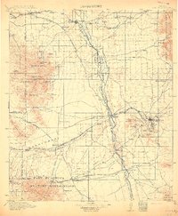
1915 · Benson
USGS Topo · 1:125,000
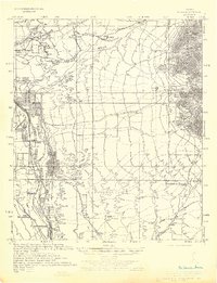
1922 · St. David
USGS Topo · 1:62,500
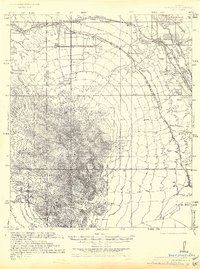
1926 · Whetstone
USGS Topo · 1:62,500
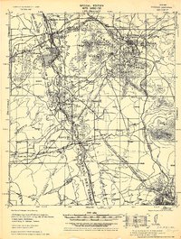
1932 · Fairbank
USGS Topo · 1:62,500
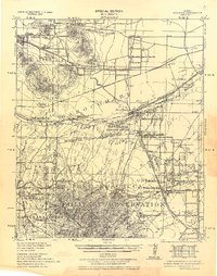
1938 · Huachuca
USGS Topo · 1:62,500
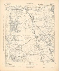
1943 · Benson
USGS Topo · 1:125,000
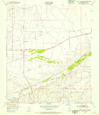
1948 · Fort Huachuca NE
USGS Topo · 1:24,000
1948 · Mustang Mountains
USGS Topo · 1:24,000
1948 · Fort Huachuca
USGS Topo · 1:62,500
1952 · Fairbank
USGS Topo · 1:24,000