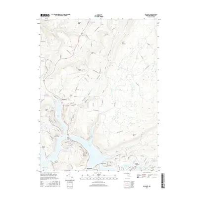
2016 Map of McHenry
USGS Topo · Published 2016About this map
Deep Creek Lake and its intricate shoreline dominate this portion of Garrett County, Maryland, reflecting a landscape defined by 20th-century recreational development and older mountain settlements. The community of McHenry sits at the northern end of the lake, serving as a hub near Garrett College and the Garrett County Airport. Further north, the town of Accident and the small settlement of Thayerville to the south anchor the local road network, which winds through the ridges of Negro Mountain and Meadow Mountain.
Find a feature on this map
129 named features on this map. Tap any name to fly to it.
Don’t see what you’re looking for? This feature index may not catch every label — zoom into the map to look around manually.
Map Details
Editions of this 2016 McHenry Map
This is the sole edition of this map. No revisions or reprints were ever made.
Other maps of this area

1895 · Piedmont
USGS Topo · 1:125,000

1899 · Grantsville
USGS Topo · 1:62,500

1899 · Oakland
USGS Topo · 1:62,500

1900 · Accident
USGS Topo · 1:62,500

1900 · Oakland
USGS Topo · 1:62,500

1904 · Grantsville
USGS Topo · 1:62,500

1919 · Elk Garden
USGS Topo · 1:48,000

1920 · Elk Garden
USGS Topo · 1:48,000

1922 · Elk Garden
USGS Topo · 1:62,500

1946 · Grantsville
USGS Topo · 1:24,000