
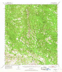
1954 Map of McHenry
USGS Topo · Published 1955About this map
The De Soto National Forest dominates the terrain of south Mississippi in the mid-1950s, with the Illinois Central railroad corridor serving as the primary anchor for local settlements. Small timber and rail towns such as McHenry, Howison, and Saucier line the tracks, providing a window into the region's rural economy. A poignant reminder of earlier epidemics is found at Yellow Fever Cemetery, while the presence of the Experimental Forest Headquarters and multiple fire lookouts like the Gundlach Lookout Tower signal the era's focus on professional forest management.
Find a feature on this map
83 named features on this map. Tap any name to fly to it.
Don’t see what you’re looking for? This feature index may not catch every label — zoom into the map to look around manually.
Map Details
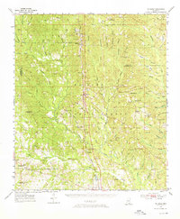
Editions of this 1954 McHenry Map
3 editions found
Other maps of this area

1947 · Wiggins
USGS Topo · 1:62,500

1947 · Benndale
USGS Topo · 1:62,500

1949 · Wiggins
USGS Topo · 1:62,500

1949 · Benndale
USGS Topo · 1:62,500

1953 · Mobile
USGS Topo · 1:250,000

1954 · Vestry
USGS Topo · 1:62,500

1954 · Gulfport North
USGS Topo · 1:24,000

1954 · Biloxi
USGS Topo · 1:24,000

1954 · Biloxi
USGS Topo · 1:62,500

1955 · Savannah
USGS Topo · 1:62,500