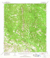
1954 Map of McHenry
USGS Topo · Published 1967About this map
De Soto National Forest dominates this mid-century landscape of the Mississippi Gulf Coast hinterlands, revealing a network of timberlands and small rail-oriented communities. The Illinois Central railroad serves as the primary spine of the region, connecting towns like McHenry, Saucier, and Howison. This survey provides a critical view of local genealogy through its numerous family and community burial grounds, including the Yellow Fever Cem and Oak Lawn Cem. The presence of the Experimental Forest Hdqrs and the Airey Lookout Tower highlights the era's focus on forest management and conservation. Smaller settlements such as Airey and Success appear alongside social centers like Advance Sch and Midway Ch, illustrating a rural landscape defined by decentralized schools and churches before the consolidation of the late 20th century.
Find a feature on this map
80 named features on this map. Tap any name to fly to it.
Don’t see what you’re looking for? This feature index may not catch every label — zoom into the map to look around manually.
Map Details
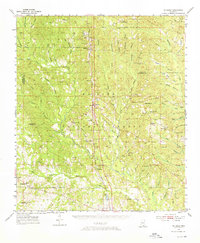
Editions of this 1954 McHenry Map
3 editions found
Other maps of this area

1947 · Wiggins
USGS Topo · 1:62,500

1947 · Benndale
USGS Topo · 1:62,500

1949 · Wiggins
USGS Topo · 1:62,500

1949 · Benndale
USGS Topo · 1:62,500

1953 · Mobile
USGS Topo · 1:250,000

1954 · Vestry
USGS Topo · 1:62,500

1954 · McHenry
USGS Topo · 1:62,500

1954 · Gulfport North
USGS Topo · 1:24,000

1954 · Biloxi
USGS Topo · 1:24,000

1954 · Biloxi
USGS Topo · 1:62,500