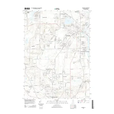
2015 Map of McHenry
USGS Topo · Published 2015About this map
The Fox River corridor in northern Illinois anchors this 2015 study, illustrating the dense suburban development between McHenry and Crystal Lake. The landscape is a complex network of residential clusters like McHenry Shores, Emerald Park, and Riverstream, interspersed with significant local landmarks and water bodies. The presence of the Metra rail line and McHenry County College highlights the modern infrastructure supporting these communities.
Find a feature on this map
278 named features on this map. Tap any name to fly to it.
Don’t see what you’re looking for? This feature index may not catch every label — zoom into the map to look around manually.
Map Details
Editions of this 2015 McHenry Map
This is the sole edition of this map. No revisions or reprints were ever made.
Other maps of this area

1920 · Grays Lake
USGS Topo · 1:62,500

1923 · Grays Lake
USGS Topo · 1:62,500

1923 · Barrington
USGS Topo · 1:62,500

1925 · Elgin
USGS Topo · 1:62,500

1926 · Mc Henry
USGS Topo · 1:62,500

1935 · Barrington
USGS Topo · 1:62,500

1940 · Elgin
USGS Topo · 1:62,500

1944 · McHenry
USGS Topo · 1:62,500

1954 · Rockford
USGS Topo · 1:250,000

1955 · Rockford
USGS Topo · 1:250,000