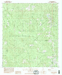
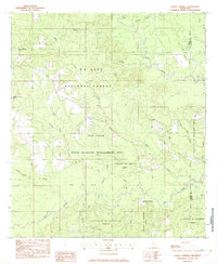
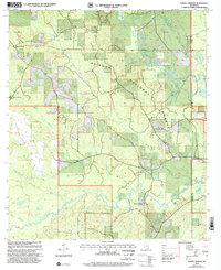
1982 Map of McHenry
USGS Topo · Published 1983This historical map portrays the area of McHenry in 1982, primarily covering Stone County as well as portions of Harrison County. Featuring a scale of 1:24000, this map provides a highly detailed snapshot of the terrain, roads, buildings, counties, and historical landmarks in the McHenry region at the time. Published in 1983, it is one of 2 known editions of this map due to revisions or reprints.
Find a feature on this map
46 named features on this map. Tap any name to fly to it.
Don’t see what you’re looking for? This feature index may not catch every label — zoom into the map to look around manually.
Map Details
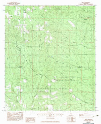
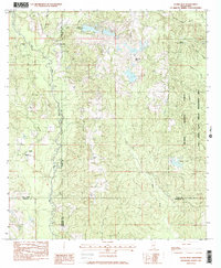
Editions of this 1982 McHenry Map
2 editions found
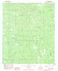
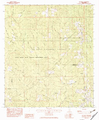
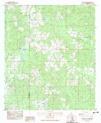
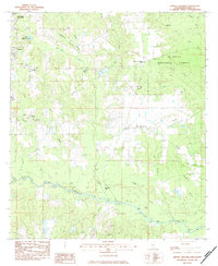
Historical Maps of Howison Through Time
17 maps found
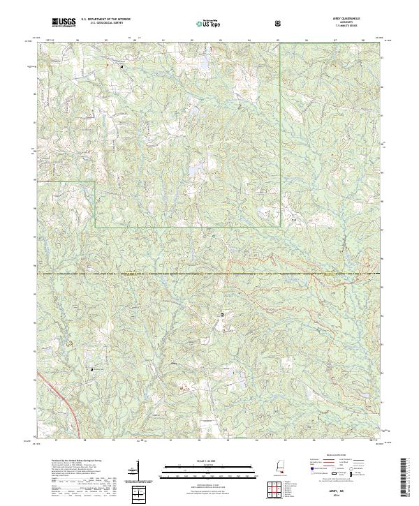
1982 Airey
Stone County, MS
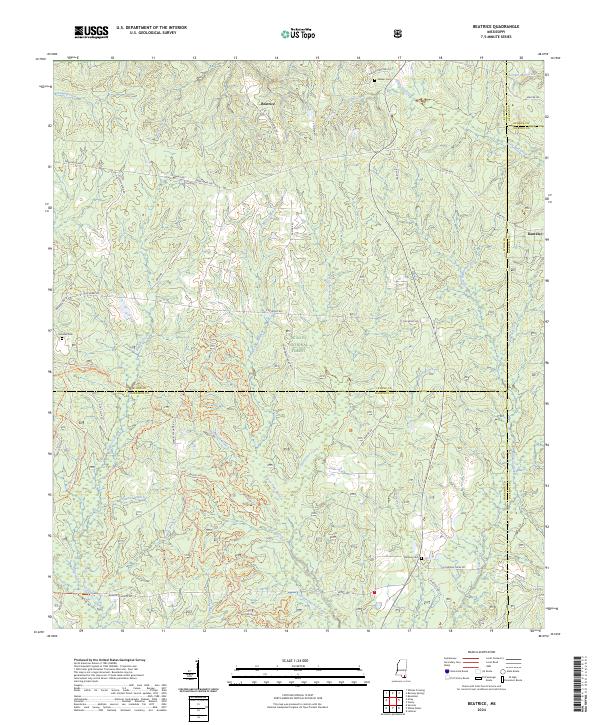
1982 Beatrice
Stone County, MS
1982 McHenry
Stone County, MS
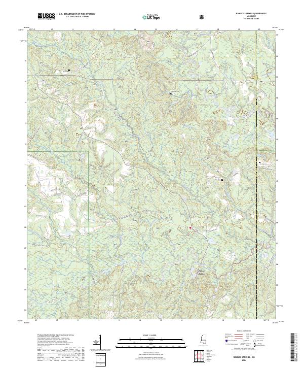
1982 Ramsey Springs
Stone County, MS
1982 Silver Run
Stone County, MS
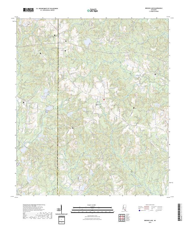
1983 Browns Lake
Stone County, MS
1983 Whites Crossing
Stone County, MS
2000 Ramsey Springs
Stone County, MS
2000 Silver Run
Stone County, MS
2000 Whites Crossing
Stone County, MS
2024 Airey
Stone County, MS
2024 Beatrice
Stone County, MS
2024 Browns Lake
Stone County, MS
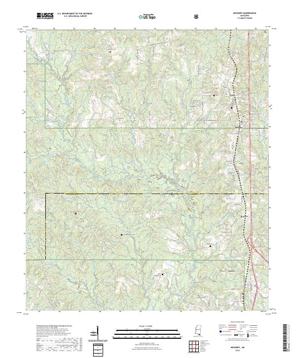
2024 McHenry
Stone County, MS
2024 Ramsey Springs
Stone County, MS
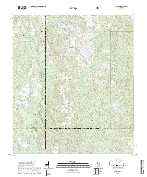
2024 Silver Run
Stone County, MS
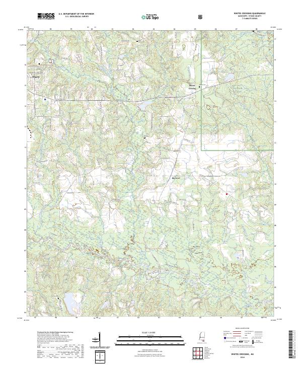
2024 Whites Crossing
Stone County, MS