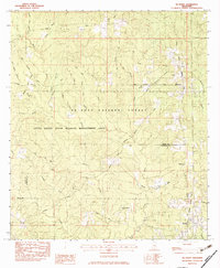
1982 Map of McHenry
USGS Topo · Published 1983About this map
The Biloxi River and its numerous tributaries, including Horse Creek and Turkey Creek, wind through the heart of the De Soto National Forest in this early 1980s survey. The landscape is defined by the Illinois Central Gulf railroad corridor, which links the settlements of McHenry, Howison, and Saucier. This area at the border of Stone and Harrison Counties reveals a deeply personal history through its many small family burial grounds, such as the D C Wedgeworth Cem and Hickman Cem.
Find a feature on this map
47 named features on this map. Tap any name to fly to it.
Don’t see what you’re looking for? This feature index may not catch every label — zoom into the map to look around manually.
Map Details
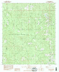
Editions of this 1982 McHenry Map
2 editions found
Other maps of this area

1947 · Wiggins
USGS Topo · 1:62,500

1949 · Wiggins
USGS Topo · 1:62,500

1953 · Mobile
USGS Topo · 1:250,000

1954 · McHenry
USGS Topo · 1:62,500

1955 · Savannah
USGS Topo · 1:62,500

1957 · Mobile
USGS Topo · 1:250,000

1958 · Carnes
USGS Topo · 1:62,500

1960 · Mobile
USGS Topo · 1:250,000

1963 · Mobile
USGS Topo · 1:250,000

1965 · Mobile
USGS Topo · 1:250,000