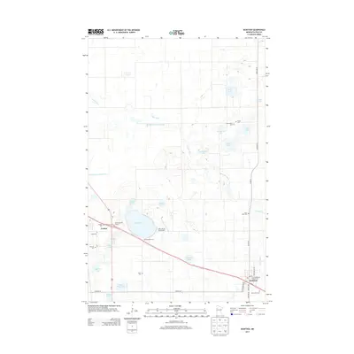
2013 Map of McIntosh
USGS Topo · Published 2013About this map
McIntosh and Erskine anchor this section of Polk County, where the plains of northwestern Minnesota are punctuated by numerous glacial lakes and the winding course of the Poplar River. The settlement pattern follows the corridor of Us-2, while the surrounding landscape is marked by a dense concentration of cemeteries that speak to the area’s early pioneer heritage, including New Sweden Cem, Trinity Cem, and Saint Johns Cem. The region's drainage has been altered over time by projects like the Poplar River Diversion Ditch, which cuts across the prairie to manage the water flow between lakes like Berg Lake and Schelicher Lake. Near Oak Lake, local recreation and transit are represented by the Win-E-Mac Golf Course and the Oak Lake Air Strip Airport, showing the modernization of this agricultural and transit corridor in the early 21st century.
Find a feature on this map
42 named features on this map. Tap any name to fly to it.
Don’t see what you’re looking for? This feature index may not catch every label — zoom into the map to look around manually.
Map Details
Editions of this 2013 McIntosh Map
This is the sole edition of this map. No revisions or reprints were ever made.
Other maps of this area
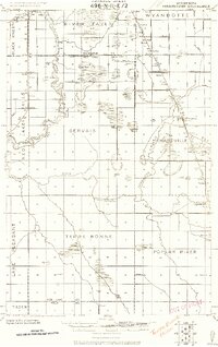
1918 · Terrebonne
USGS Topo · 1:62,500
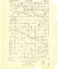
1919 · Grit
USGS Topo · 1:62,500
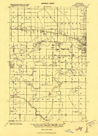
1919 · Valley
USGS Topo · 1:62,500

1952 · Grand Forks
USGS Topo · 1:250,000

1954 · Bemidji
USGS Topo · 1:250,000

1956 · Grand Forks
USGS Topo · 1:250,000

1957 · Bemidji
USGS Topo · 1:250,000

1958 · Bemidji
USGS Topo · 1:250,000
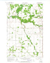
1964 · Brooks
USGS Topo · 1:24,000
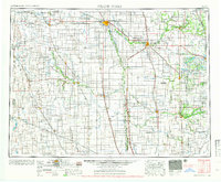
1966 · Grand Forks
USGS Topo · 1:250,000