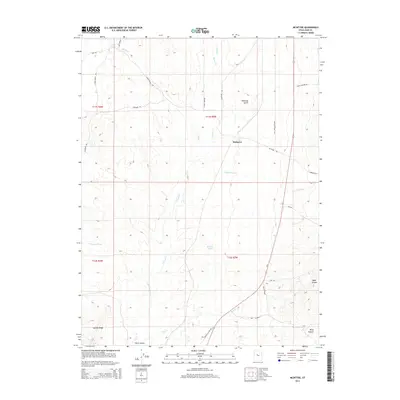
2014 Map of McIntyre
USGS Topo · Published 2014About this map
McIntyre sits at the heart of this high-desert landscape, serving as a focal point for ranching and transport routes in the modern era. The map details a complex drainage system essential for life in the Tintic Valley, including Railroad Springs, Mud Springs, and several seasonal watercourses like Lower Death Crk and Copperopolis Cr. The terrain is defined by prominent rises such as Jericho Ridge and the deep cuts of Diamond Gulch and Riley Canyon. Human use of the land is primarily evidenced by extensive pasture lands and named access ways like the Usu Tintic Pastures and Jericho Cut Off Rd. To the southeast, Wash Canyon and Hop Cr mark the edge of the valley, while the presence of Us-6 indicates the continuing importance of this corridor for regional connectivity.
Find a feature on this map
32 named features on this map. Tap any name to fly to it.
Don’t see what you’re looking for? This feature index may not catch every label — zoom into the map to look around manually.
Map Details
Editions of this 2014 McIntyre Map
This is the sole edition of this map. No revisions or reprints were ever made.
Other maps of this area
1885 · Sevier Desert
USGS Topo · 1:250,000
1949 · Eureka
USGS Topo · 1:24,000
1953 · Delta
USGS Topo · 1:250,000
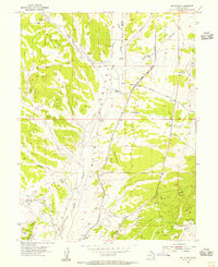
1954 · Mc Intyre
USGS Topo · 1:24,000
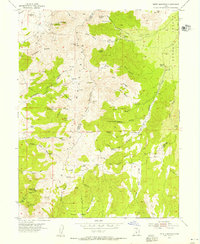
1954 · Tintic Mountain
USGS Topo · 1:24,000
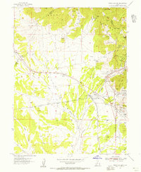
1954 · Tintic Junction
USGS Topo · 1:24,000
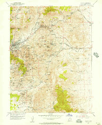
1954 · Eureka
USGS Topo · 1:24,000
1958 · Delta
USGS Topo · 1:250,000
1962 · Delta
USGS Topo · 1:250,000
1962 · Lynndyl
USGS Topo · 1:62,500