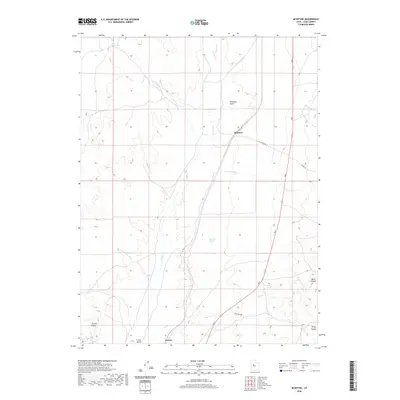
2020 Map of McIntyre
USGS Topo · Published 2020About this map
McIntyre and Jericho anchor this section of Tintic Valley, where the drainage patterns of the high desert define the landscape. The geography is characterized by numerous ephemeral watercourses and springs, such as Railroad Springs and Mud Springs, which have historically been vital in this arid region of Juab County. The topography is marked by significant elevation changes between the flat valley floor and prominent landforms like Jericho Ridge and Diamond Gulch.
Find a feature on this map
18 named features on this map. Tap any name to fly to it.
Don’t see what you’re looking for? This feature index may not catch every label — zoom into the map to look around manually.
Map Details
Editions of this 2020 McIntyre Map
This is the sole edition of this map. No revisions or reprints were ever made.
Other maps of this area
1885 · Sevier Desert
USGS Topo · 1:250,000
1949 · Eureka
USGS Topo · 1:24,000
1953 · Delta
USGS Topo · 1:250,000
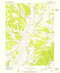
1954 · Mc Intyre
USGS Topo · 1:24,000
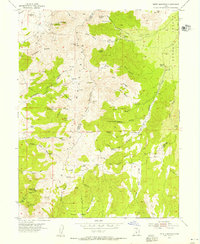
1954 · Tintic Mountain
USGS Topo · 1:24,000
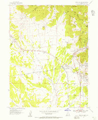
1954 · Tintic Junction
USGS Topo · 1:24,000
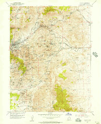
1954 · Eureka
USGS Topo · 1:24,000
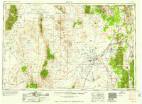
1958 · Delta
USGS Topo · 1:250,000
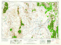
1962 · Delta
USGS Topo · 1:250,000
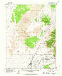
1962 · Lynndyl
USGS Topo · 1:62,500