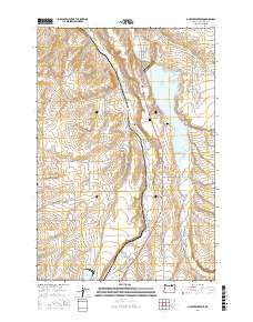
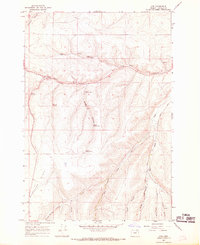
2017 Map of McKay Reservoir
USGS Topo · Published 2017About this map
McKay Reservoir dominates the landscape of this Umatilla County region, serving as a primary water source and geographical anchor for the surrounding hills and canyons. The settlement of Green Meadows sits on the western shore of the reservoir, while the eastern banks are defined by the rising terrain of Spring Hollow and family-named features like Stewart Bench. This modern survey illustrates how modern infrastructure, such as Schroeder Rd and SW Douglas Dr, has integrated into a landscape shaped by historical watercourses like Birch Cr and McKay Cr. For local historians and genealogists, the map identifies significant sites including McKay Creek Cem and Skyview Memorial Park, providing precise locations for these community landmarks. The transition from the alluvial flats near the water to the steep cuts of George Canyon highlights the complex topography that dictates the placement of rural roads and homesteads in the area south of Pendleton.
Find a feature on this map
53 named features on this map. Tap any name to fly to it.
Don’t see what you’re looking for? This feature index may not catch every label — zoom into the map to look around manually.
Map Details
Editions of this 2017 McKay Reservoir Map
This is the sole edition of this map. No revisions or reprints were ever made.
Other maps of this area
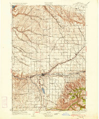
1935 · Pendleton
USGS Topo · 1:125,000

1953 · Pendleton
USGS Topo · 1:250,000

1956 · Pendleton
USGS Topo · 1:250,000
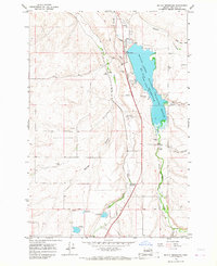
1966 · Mc Kay Reservoir
USGS Topo · 1:24,000
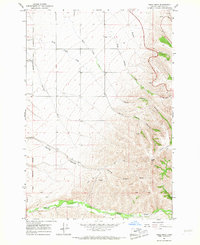
1966 · Table Rock
USGS Topo · 1:24,000
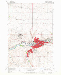
1966 · Pendleton
USGS Topo · 1:24,000
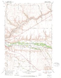
1966 · Mission
USGS Topo · 1:24,000
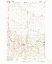
1966 · Barnhart
USGS Topo · 1:24,000
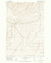
1966 · Coombs Canyon
USGS Topo · 1:24,000
1967 · Nye
USGS Topo · 1:24,000