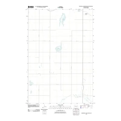
2011 Map of McKenna Lake South
USGS Topo · Published 2011About this map
McKenna Lake and Round Lake anchor the central prairie landscape of Logan County in this 2011 survey. The terrain is defined by a rigorous grid of section-line roads, including 26th Ave SE and 71st St SE, which facilitate travel through this agricultural region. In the northern reaches, the Napoleon Municipal Airport serves the local community of Napoleon, providing a vital connection to the broader region. The southern edge of the quadrangle is marked by the meandering path of Beaver Creek, offering a natural contrast to the geometric precision of the surrounding rural infrastructure. This map documents a stable landscape of water bodies and township roads that has shaped North Dakota farming life for generations.
Find a feature on this map
16 named features on this map. Tap any name to fly to it.
Don’t see what you’re looking for? This feature index may not catch every label — zoom into the map to look around manually.
Map Details
Editions of this 2011 McKenna Lake South Map
This is the sole edition of this map. No revisions or reprints were ever made.
Other maps of this area

1953 · Jamestown
USGS Topo · 1:250,000

1956 · Jamestown
USGS Topo · 1:250,000

1975 · Kintyre
USGS Topo · 1:24,000

1979 · Schell Buttes
USGS Topo · 1:24,000

1979 · Schell Buttes SW
USGS Topo · 1:24,000

1979 · Schell Buttes NW
USGS Topo · 1:24,000

1979 · McKenna Lake South
USGS Topo · 1:24,000

1980 · McKenna Lake North
USGS Topo · 1:24,000

1982 · Wishek SW
USGS Topo · 1:24,000

1982 · Burnstad
USGS Topo · 1:24,000