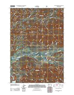
2011 Map of McKenzie Bridge
USGS Topo · Published 2011About this map
McKenzie Bridge serves as the focal point of this Cascade Range survey, where the McKenzie River meets its southern and eastern tributaries. The settlement is anchored by the McKenzie Bridge Post Office and sits near the confluence of Horse Creek and the main river channel. To the west, the community of Rainbow lies near the riverbanks, just north of the significant geographic landmark Dearborn Island. The landscape is defined by its dramatic relief, with peaks such as Castle Rock, Lookout Mountain, and Macduff Mountain looming over the river valley.
Find a feature on this map
38 named features on this map. Tap any name to fly to it.
Don’t see what you’re looking for? This feature index may not catch every label — zoom into the map to look around manually.
Map Details
Editions of this 2011 McKenzie Bridge Map
This is the sole edition of this map. No revisions or reprints were ever made.
Other maps of this area

1934 · Mc Kenzie Bridge
USGS Topo · 1:96,000

1940 · Mc Kenzie Bridge
USGS Topo · 1:125,000

1953 · Salem
USGS Topo · 1:250,000

1954 · Salem
USGS Topo · 1:250,000

1955 · Blue River
USGS Topo · 1:62,500

1955 · Cascadia
USGS Topo · 1:62,500

1955 · Echo Mountain
USGS Topo · 1:62,500

1955 · Mc Kenzie Bridge
USGS Topo · 1:62,500

1960 · Salem
USGS Topo · 1:250,000

1962 · Salem
USGS Topo · 1:250,000