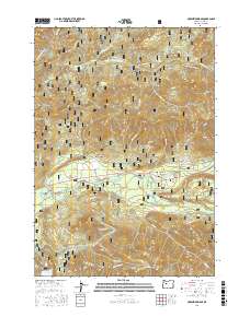
2017 Map of McKenzie Bridge
USGS Topo · Published 2017About this map
McKenzie Bridge serves as the central hub of this Lane County landscape, where the McKenzie River flows through the deep drainages of the Willamette National Forest. The 2017 terrain is defined by its complex hydrography, featuring the confluence of major tributaries like Horse Creek and Blue River, alongside the expansive Cougar Reservoir to the south. Historically significant landmarks such as Castle Rock and Lookout Mtn dominate the vertical relief, while the protected Lookout Creek Old Growth area preserves a specific ecological character in the northern section of the quadrangle. Small settlements like Rainbow and Dearborn Island cluster along the river corridor, linked by McKenzie River Dr and King Rd W. The map reveals a dense network of forest development roads, including Natl Forest Develop Road 15 Rd, which weave through the high ridges and creek bottoms of the Cascade Range.
Find a feature on this map
71 named features on this map. Tap any name to fly to it.
Don’t see what you’re looking for? This feature index may not catch every label — zoom into the map to look around manually.
Map Details
Editions of this 2017 McKenzie Bridge Map
This is the sole edition of this map. No revisions or reprints were ever made.
Other maps of this area
1934 · Mc Kenzie Bridge
USGS Topo · 1:96,000
1940 · Mc Kenzie Bridge
USGS Topo · 1:125,000
1953 · Salem
USGS Topo · 1:250,000
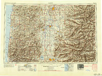
1954 · Salem
USGS Topo · 1:250,000
1955 · Blue River
USGS Topo · 1:62,500
1955 · Cascadia
USGS Topo · 1:62,500
1955 · Echo Mountain
USGS Topo · 1:62,500
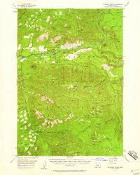
1955 · Mc Kenzie Bridge
USGS Topo · 1:62,500
1960 · Salem
USGS Topo · 1:250,000
1962 · Salem
USGS Topo · 1:250,000