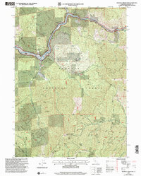
2001 Map of Mckinley Mountain
USGS Topo · Published 2004About this map
The Klamath River dominates the northern boundary of this Siskiyou County landscape, winding through a steep canyon that defines the local geography. In this 2001 revision of the 1983 topographic survey, the limited residential development in the area is centered at the Klamath River Mobile Home Park, situated along the river's edge. The surrounding terrain is largely managed by the USDA Forest Service as part of the Klamath National Forest, showing a high-density network of forest roads and trails that serve timber and recreation interests. The map highlights the contrast between the narrow corridor of human activity along the river and the extensive, undeveloped mountain slopes that characterize the Siskiyou wilderness during this era.
Find a feature on this map
1 named feature on this map. Tap any name to fly to it.
Don’t see what you’re looking for? This feature index may not catch every label — zoom into the map to look around manually.
Map Details
Editions of this 2001 Mckinley Mountain Map
This is the sole edition of this map. No revisions or reprints were ever made.
Other maps of this area

1886 · Shasta
USGS Topo · 1:250,000

1894 · Shasta
USGS Topo · 1:250,000

1932 · Yreka
USGS Topo · 1:96,000

1939 · Yreka
USGS Topo · 1:125,000

1948 · Weed
USGS Topo · 1:250,000

1950 · Weed
USGS Topo · 1:250,000

1954 · Yreka
USGS Topo · 1:62,500

1955 · Condrey Mtn
USGS Topo · 1:62,500
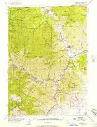
1955 · Hornbrook
USGS Topo · 1:62,500
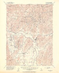
1955 · Fort Jones
USGS Topo · 1:62,500