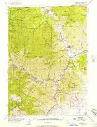
1955 Map of Hornbrook
USGS Topo · Published 1957About this map
The Klamath River carves a deep path through the Klamath National Forest in this mid-century survey of the California-Oregon borderlands. The era's industrial activity is etched across the landscape, from the lumber operations at Hilt to the network of mines including the Cinnabar Mine and the Bumblebee Mine. Transport is dominated by the Southern Pacific railroad and the Pacific Highway, which follow the valley floors to connect the high-altitude settlements of Hornbrook and Cole.
Find a feature on this map
108 named features on this map. Tap any name to fly to it.
Don’t see what you’re looking for? This feature index may not catch every label — zoom into the map to look around manually.
Map Details
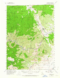
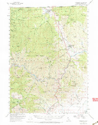
Editions of this 1955 Hornbrook Map
3 editions found
Other maps of this area

1886 · Shasta
USGS Topo · 1:250,000

1891 · Ashland
USGS Topo · 1:250,000

1893 · Ashland
USGS Topo · 1:250,000

1894 · Shasta
USGS Topo · 1:250,000

1897 · Ashland
USGS Topo · 1:250,000

1922 · Shasta Valley Sheet No 4
USGS Topo · 1:24,000

1922 · Shasta Valley Sheet No 3
USGS Topo · 1:24,000

1922 · Shasta Valley Sheet No 15
USGS Topo · 1:24,000

1922 · Shasta Valley Sheet No 14
USGS Topo · 1:24,000

1922 · Shasta Valley Sheet No 5
USGS Topo · 1:24,000