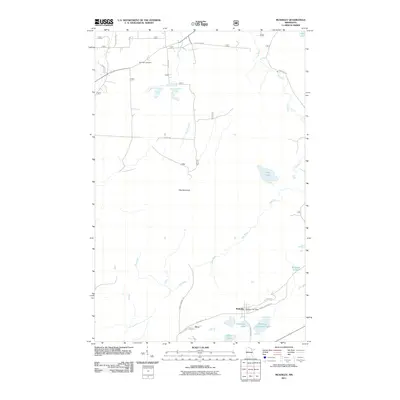
2011 Map of McKinley
USGS Topo · Published 2011About this map
McKinley and the neighboring settlement of Elcor anchor the southeastern corner of this quadrangle, situated within the Iron Range region. The landscape is characterized by its transition from these small community centers into a vast northern wetland and lake district, evidenced by Lola Lake in the northeast. This 2011 survey documents the road networks and water systems that define the area, showing the layout of the local street grids and the secondary routes that penetrate the surrounding woods. The map provides a clear look at the spatial relationship between these historically significant mining-era towns and the natural geography of the region.
Find a feature on this map
3 named features on this map. Tap any name to fly to it.
Don’t see what you’re looking for? This feature index may not catch every label — zoom into the map to look around manually.
Map Details
Editions of this 2011 McKinley Map
This is the sole edition of this map. No revisions or reprints were ever made.
Other maps of this area

1950 · Biwabik
USGS Topo · 1:24,000

1950 · Mc Kinley
USGS Topo · 1:24,000

1950 · Biwabik NW
USGS Topo · 1:24,000

1950 · Biwabik NE
USGS Topo · 1:24,000

1951 · Biwabik
USGS Topo · 1:24,000

1951 · Mc Kinley
USGS Topo · 1:24,000

1951 · Biwabik NE
USGS Topo · 1:24,000

1951 · Biwabik NW
USGS Topo · 1:24,000

1951 · Palo
USGS Topo · 1:24,000

1951 · Gilbert
USGS Topo · 1:24,000