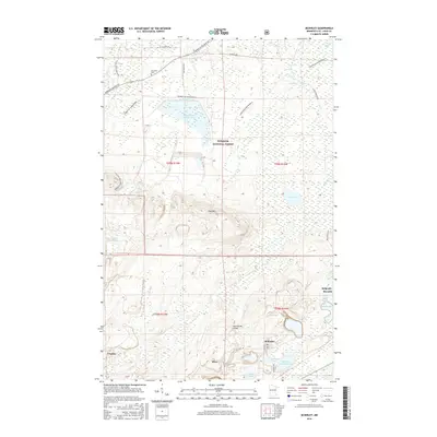
2016 Map of McKinley
USGS Topo · Published 2016About this map
McKinley and Elcor sit along the southeastern edge of this Mesabi Range landscape, positioned near the Laurentian Divide. The geography is defined by the heavy footprint of the iron mining industry, shown through specialized water management features like the Inland Steel Tailings Basin, McKinley Tailings Basin, and the Sauntry Creek Settling Basin. These industrial sites contrast with the natural elevations of Pike Mtn and the dense woodlands of the Superior National Forest.
Find a feature on this map
32 named features on this map. Tap any name to fly to it.
Don’t see what you’re looking for? This feature index may not catch every label — zoom into the map to look around manually.
Map Details
Editions of this 2016 McKinley Map
This is the sole edition of this map. No revisions or reprints were ever made.
Other maps of this area

1950 · Biwabik
USGS Topo · 1:24,000

1950 · Mc Kinley
USGS Topo · 1:24,000

1950 · Biwabik NW
USGS Topo · 1:24,000

1950 · Biwabik NE
USGS Topo · 1:24,000

1951 · Biwabik
USGS Topo · 1:24,000

1951 · Mc Kinley
USGS Topo · 1:24,000

1951 · Biwabik NE
USGS Topo · 1:24,000

1951 · Biwabik NW
USGS Topo · 1:24,000

1951 · Palo
USGS Topo · 1:24,000

1951 · Gilbert
USGS Topo · 1:24,000