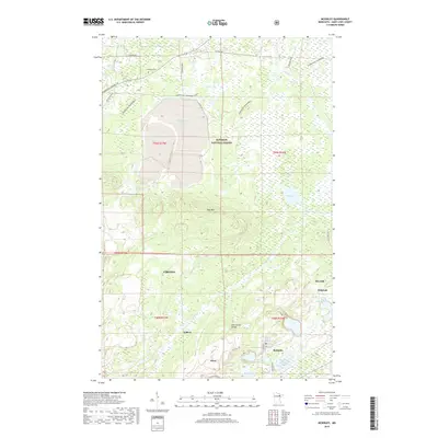
2019 Map of McKinley
USGS Topo · Published 2019About this map
The Inland Steel Tailings Basin and McKinley Tailings Basin dominate this portion of the Iron Range, illustrating the massive scale of 21st-century taconite mining operations. These industrial features sit alongside the natural contours of Pike Mtn and the Laurentian Divide, where waters split between the Hudson Bay and Lake Superior basins.
Find a feature on this map
35 named features on this map. Tap any name to fly to it.
Don’t see what you’re looking for? This feature index may not catch every label — zoom into the map to look around manually.
Map Details
Editions of this 2019 McKinley Map
This is the sole edition of this map. No revisions or reprints were ever made.
Other maps of this area

1950 · Biwabik
USGS Topo · 1:24,000

1950 · Mc Kinley
USGS Topo · 1:24,000

1950 · Biwabik NW
USGS Topo · 1:24,000

1950 · Biwabik NE
USGS Topo · 1:24,000

1951 · Biwabik
USGS Topo · 1:24,000

1951 · Mc Kinley
USGS Topo · 1:24,000

1951 · Biwabik NE
USGS Topo · 1:24,000

1951 · Biwabik NW
USGS Topo · 1:24,000

1951 · Palo
USGS Topo · 1:24,000

1951 · Gilbert
USGS Topo · 1:24,000