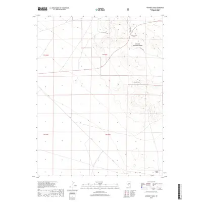
2018 Map of McKinney Tanks
USGS Topo · Published 2018About this map
Toiyabe National Forest encompasses much of this high-desert terrain, where significant elevations like McKinney Tanks Summit and Hannapah Peak rise above the surrounding basin. The landscape is defined by the transition into the Ralston Desert at the southern edge of the quadrangle. Transportation through this arid region relies on a sparse network of historical routes, including the Hannapah Cutoff Road and the track through Parrotte Springs. Local naming conventions reflect the critical importance of water in this environment, evidenced by labels such as McKinney Tanks. The map serves as a detailed record of land management and natural topography in this part of Nye County, documenting the surveyed township and range boundaries that grid the high desert floor.
Find a feature on this map
12 named features on this map. Tap any name to fly to it.
Don’t see what you’re looking for? This feature index may not catch every label — zoom into the map to look around manually.
Map Details
Editions of this 2018 McKinney Tanks Map
This is the sole edition of this map. No revisions or reprints were ever made.
Other maps of this area

1907 · Tonopah
USGS Topo · 1:250,000
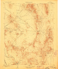
1908 · Kawich
USGS Topo · 1:250,000
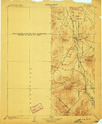
1908 · Lida
USGS Topo · 1:250,000

1908 · Tonopah
USGS Topo · 1:250,000
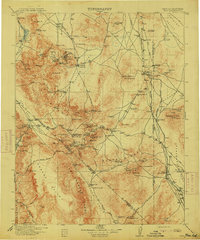
1913 · Lida
USGS Topo · 1:250,000
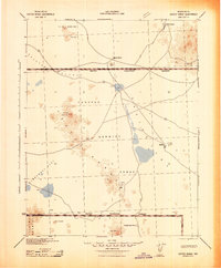
1942 · Cactus Range
USGS Topo · 1:125,000
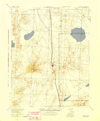
1945 · Goldfield
USGS Topo · 1:125,000
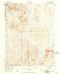
1952 · Mud Lake
USGS Topo · 1:62,500
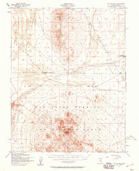
1952 · Cactus Peak
USGS Topo · 1:62,500

1954 · Goldfield
USGS Topo · 1:250,000