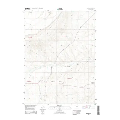
2015 Map of McKinnon
USGS Topo · Published 2015About this map
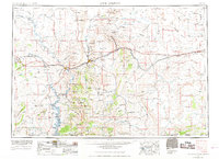
Henrys Fork carves a prominent path through this corner of Sweetwater County, providing the lifeblood for a ranching and agricultural landscape defined by its irrigation network. The presence of the Interstate Canal and several man-made water features, such as Phil Mass Reservoir and Antler Reservoir, indicates the significance of water management in this high-elevation terrain. The map centers on the small settlements of Rendezvous and McKinnon, which serve as local hubs connected by McKinnon Rd and the path of Old Highway 414. To the north, the massive profile of Cedar Mtn dominates the horizon, while the southern reaches are marked by a series of named depressions like Big Hollow and Logan Hollow. Genealogists will find particular value in the locations of Burntfork Cem and McKinnon Cem, which anchor the history of these tight-knit rural communities.
Find a feature on this map
32 named features on this map. Tap any name to fly to it.
Don’t see what you’re looking for? This feature index may not catch every label — zoom into the map to look around manually.
Map Details
Editions of this 2015 McKinnon Map
This is the sole edition of this map. No revisions or reprints were ever made.
Other maps of this area

1885 · Ashley
USGS Topo · 1:250,000
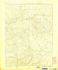
1885 · Uinta
USGS Topo · 1:250,000
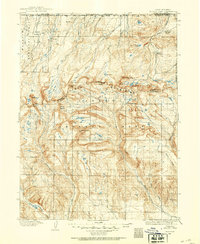
1905 · Gilbert Peak
USGS Topo · 1:125,000
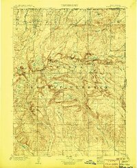
1906 · Gilbert Peak
USGS Topo · 1:125,000
1906 · Marsh Peak
USGS Topo · 1:125,000
1908 · Marsh Peak
USGS Topo · 1:125,000
1954 · Salt Lake City
USGS Topo · 1:250,000

1954 · Vernal
USGS Topo · 1:250,000
1954 · Ogden
USGS Topo · 1:250,000
1954 · Rock Springs
USGS Topo · 1:250,000