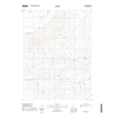
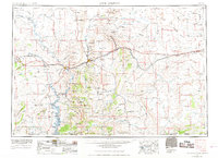
2017 Map of McKinnon
USGS Topo · Published 2017About this map
McKinnon sits as a primary settlement point in this southwestern Wyoming landscape, situated near the confluence of several prominent canyons and hollows. The area's agricultural and ranching foundations are evident in the complex network of irrigation and water management, including the Interstate Canal and numerous upland water sources like Antler Reservoir and Phil Mass Reservoir. The terrain is defined by dramatic elevation shifts from the heights of Cedar Mtn down through Coon Hollow and Welch Hollow toward the riparian corridor of Henrys Fork. For those tracing local families, the map identifies three distinct burial sites: Burntfork Cem, McKinnon Cem, and the McKinnon Terry Ranch Cem. Historic transportation routes are well-preserved in the modern record here, including the alignment of Old Hwy 414 and high-country tracks like Rim Rd.
Find a feature on this map
34 named features on this map. Tap any name to fly to it.
Don’t see what you’re looking for? This feature index may not catch every label — zoom into the map to look around manually.
Map Details
Editions of this 2017 McKinnon Map
This is the sole edition of this map. No revisions or reprints were ever made.
Other maps of this area

1885 · Ashley
USGS Topo · 1:250,000
1885 · Uinta
USGS Topo · 1:250,000
1905 · Gilbert Peak
USGS Topo · 1:125,000
1906 · Gilbert Peak
USGS Topo · 1:125,000
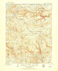
1906 · Marsh Peak
USGS Topo · 1:125,000
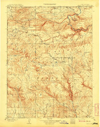
1908 · Marsh Peak
USGS Topo · 1:125,000
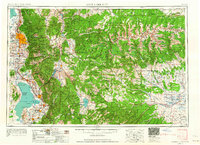
1954 · Salt Lake City
USGS Topo · 1:250,000

1954 · Vernal
USGS Topo · 1:250,000
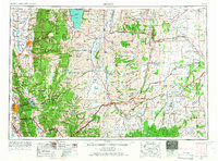
1954 · Ogden
USGS Topo · 1:250,000
1954 · Rock Springs
USGS Topo · 1:250,000