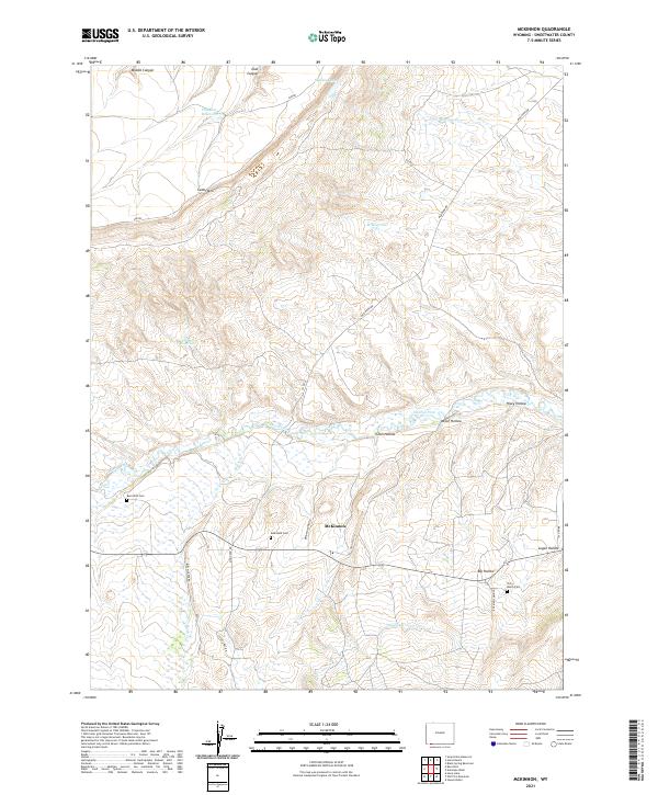
2021 Map of McKinnon
USGS Topo · Published 2021About this map
McKinnon serves as the central hub of this high-desert landscape in southwestern Wyoming, where ranching and water management define the settlement patterns. The map highlights a network of essential water sources including Phil Mass Reservoir, Antler Reservoir, and the Interstate Canal, all critical for sustaining the high-altitude pastures. The presence of three distinct burial grounds — McKinnon Cem, Burntfork Cem, and Terry Ranch Cem — suggests a deep-rooted community history tied to specific family holdings and localized ranching settlements. The terrain is marked by significant topographical shifts, from the prominence of Cedar Mtn in the west to a series of eroded drainages like Coon Hollow, Welch Hollow, and Hisey Hollow. These features, along with the meandering Henrys Fork, illustrate the complex drainage system of the Green River Basin and the rugged geography that has dictated road placements like Rim RD and Old HWY 414.
Find a feature on this map
33 named features on this map. Tap any name to fly to it.
Don’t see what you’re looking for? This feature index may not catch every label — zoom into the map to look around manually.
Map Details
Editions of this 2021 McKinnon Map
This is the sole edition of this map. No revisions or reprints were ever made.
Other maps of this area

1885 · Ashley
USGS Topo · 1:250,000

1885 · Uinta
USGS Topo · 1:250,000

1905 · Gilbert Peak
USGS Topo · 1:125,000

1906 · Gilbert Peak
USGS Topo · 1:125,000

1906 · Marsh Peak
USGS Topo · 1:125,000

1908 · Marsh Peak
USGS Topo · 1:125,000

1954 · Salt Lake City
USGS Topo · 1:250,000

1954 · Vernal
USGS Topo · 1:250,000

1954 · Ogden
USGS Topo · 1:250,000

1954 · Rock Springs
USGS Topo · 1:250,000