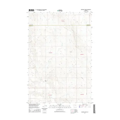
2017 Map of McKonkey Creek
USGS Topo · Published 2017About this map
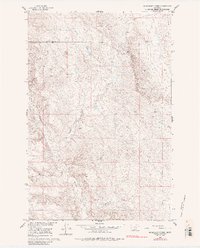
Bone Coulee serves as a central geographical feature in this arid stretch of Big Sky Country, where the landscape is defined by the ephemeral drainage patterns of the high plains. The map traces the winding courses of several waterways, including Willow Cr in the north and the namesake McKonkey Cr to the south. This area, located along the boundary of Rosebud and Treasure Counties, is largely undeveloped, with the gravel path of Ingomar Rd providing the primary transit route through the townships. The sparse placement of roads and the dominance of named coulees and creeks like Muggins Cr reflect a region dedicated to large-scale ranching and open range land, where topographical shifts in elevation are the most prominent landmarks for navigation.
Find a feature on this map
11 named features on this map. Tap any name to fly to it.
Don’t see what you’re looking for? This feature index may not catch every label — zoom into the map to look around manually.
Map Details
Editions of this 2017 McKonkey Creek Map
This is the sole edition of this map. No revisions or reprints were ever made.
Other maps of this area

1954 · Forsyth
USGS Topo · 1:250,000

1957 · Forsyth
USGS Topo · 1:250,000

1958 · Forsyth
USGS Topo · 1:250,000
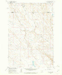
1960 · Steie Ranch
USGS Topo · 1:24,000
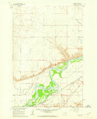
1960 · Myers
USGS Topo · 1:24,000
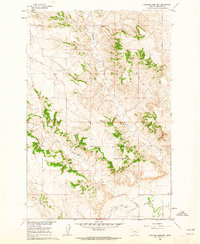
1960 · Rancher Cemetery
USGS Topo · 1:24,000
1960 · Ingomar West
USGS Topo · 1:24,000
1960 · Ingomar East
USGS Topo · 1:24,000
1960 · Mc Konkey Creek
USGS Topo · 1:24,000
1962 · Sumatra
USGS Topo · 1:24,000